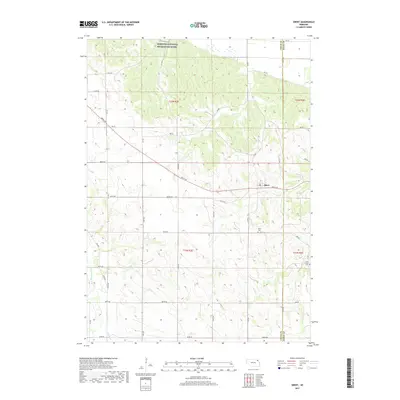
2017 Map of Obert
USGS Topo · Published 2017About this map
Obert sits at the center of this rural Cedar County landscape, serving as a focal point for the surrounding agricultural precinct. The northern edge of the terrain is defined by the Missouri National Recreation River, where the elevation drops toward the river's path. This modern survey illustrates the grid of rural roads, such as 890th Rd and 888th Rd, that partition the undulating hills and drainages. Local family history and genealogy are anchored by specific sites like the Obert Cem just south of town and the Lime Creek Cem located near the eastern boundary along Lime Creek. Significant watercourses including East Bow Creek and Ames Cr cut through the sections, shaping the topography of this northeastern Nebraska region.
Find a feature on this map
29 named features on this map. Tap any name to fly to it.
Don’t see what you’re looking for? This feature index may not catch every label — zoom into the map to look around manually.
Map Details
Editions of this 2017 Obert Map
This is the sole edition of this map. No revisions or reprints were ever made.
Other maps of this area
1898 · Elk Point
USGS Topo · 1:125,000
1901 · Elk Point
USGS Topo · 1:125,000
1907 · Elk Point
USGS Topo · 1:125,000
1955 · Sioux City
USGS Topo · 1:250,000
1958 · Sioux City
USGS Topo · 1:250,000
1959 · Sioux City
USGS Topo · 1:250,000
1964 · Martinsburg SW
USGS Topo · 1:24,000
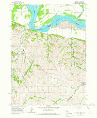
1964 · Maskell
USGS Topo · 1:24,000
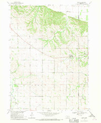
1968 · Obert
USGS Topo · 1:24,000
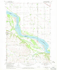
1968 · St. Helena
USGS Topo · 1:24,000