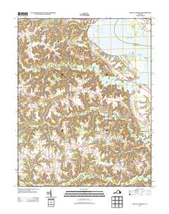
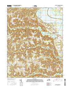
1942 Map of Occupacia
USGS Topo · Published 1942About this map
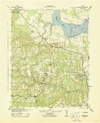
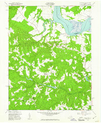
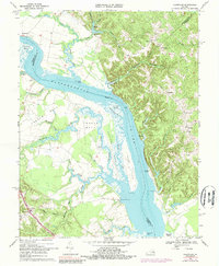
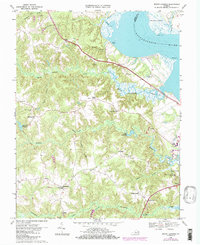
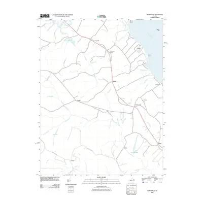
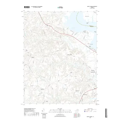
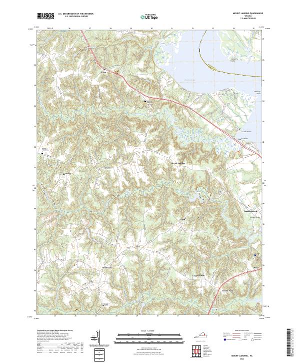
Vauters Church stands as a central landmark in this 1942 survey of the Virginia Tidewater, situated near the intersection of major transit routes between the Rappahannock River and the rural interior. This wartime mapping project, prepared by the Soil Conservation Service for the War Department, reveals a landscape defined by traditional agrarian settlements and significant watercourses. The riverfront at Leedstown and Chance contrasts with the densely wooded ravines and wetlands of the Black Water Swamp and Occupacia Creek systems.
Find a feature on this map
21 named features on this map. Tap any name to fly to it.
Don’t see what you’re looking for? This feature index may not catch every label — zoom into the map to look around manually.
Map Details
Editions of this 1942 Occupacia Map
This is the sole edition of this map. No revisions or reprints were ever made.
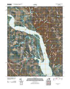
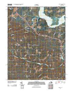
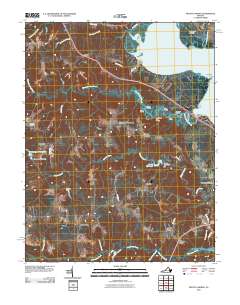
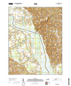
Historical Maps of Taylors Through Time
29 maps found
1942 Occupacia
Essex County, VA
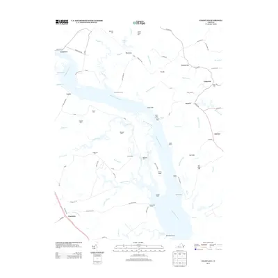
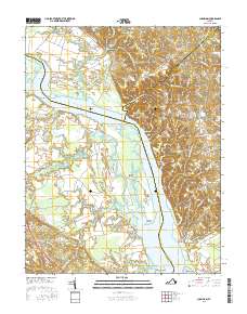
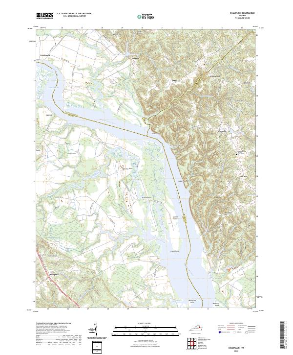
1943 Champlain
Essex County, VA
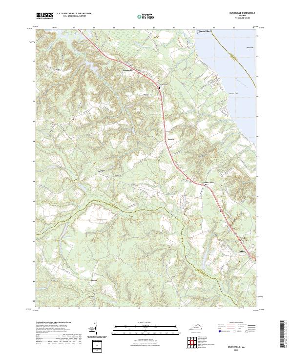
1944 Dunnsville
Essex County, VA
1944 Mount Landing
Essex County, VA
1949 Occupacia
Essex County, VA
1968 Champlain
Essex County, VA
1968 Dunnsville
Essex County, VA
1968 Loretto
Essex County, VA
1968 Mount Landing
Essex County, VA
2010 Champlain
Essex County, VA
2010 Loretto
Essex County, VA
2010 Mount Landing
Essex County, VA
2011 Dunnsville
Essex County, VA
2013 Champlain
Essex County, VA
2013 Dunnsville
Essex County, VA
2013 Loretto
Essex County, VA
2013 Mount Landing
Essex County, VA
2016 Champlain
Essex County, VA
2016 Dunnsville
Essex County, VA
2016 Loretto
Essex County, VA
2016 Mount Landing
Essex County, VA
2019 Champlain
Essex County, VA
2019 Dunnsville
Essex County, VA
2019 Loretto
Essex County, VA
2019 Mount Landing
Essex County, VA
2022 Champlain
Essex County, VA
2022 Dunnsville
Essex County, VA
2022 Loretto
Essex County, VA
2022 Mount Landing
Essex County, VA