Loading...
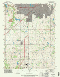
Loading map...1991 Map of Ocheltree
USGS Topo · Published 1996About this map
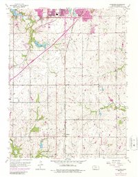
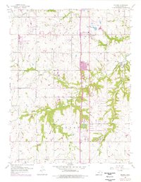
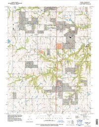
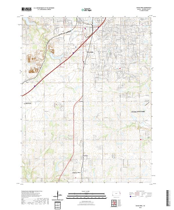
Ocheltree and its surrounding Johnson County landscape appear in high detail during the early 1990s, caught between established agriculture and the expanding urban footprint of Olathe. The map documents a corridor of small settlements along the rail lines and highways, including Clare, Bonita, and Spring Hill. Water resources are prominent features of the terrain, with the bifurcated Olathe Lake and the larger New Olathe Lake situated along Cedar Creek.
Find a feature on this map
25 named features on this map. Tap any name to fly to it.
Don’t see what you’re looking for? This feature index may not catch every label — zoom into the map to look around manually.
Map Details
Date Portrayed1991
Date Published1996
PublisherU.S. Geological Survey
Map TypeTopographic
Scale1:24000
Physical Dimensions21 x 26.9 inches
Editions of this 1991 Ocheltree Map
This is the sole edition of this map. No revisions or reprints were ever made.
Historical Maps of Oak Run Through Time
6 maps found
Featured Locations
Source Details
SourceU.S. Geological Survey
CopyrightPublic Domain