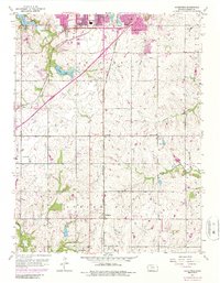
1956 Map of Ocheltree
USGS Topo · Published 1986About this map
Olathe and its southern agricultural surroundings define this mid-century landscape, capturing a period of transition as urban expansion begins to reach into the rural townships. The rail corridors of the Atchison Topeka and Santa Fe Tracks and the St Louis and San Francisco Tracks serve as the primary north-south arteries, anchoring small rural stops like Bonita and Ocheltree. These tracks reflect the region's historic dependence on rail transportation for moving goods between the suburbanizing north and the farmsteads near Spring Hill.
Find a feature on this map
27 named features on this map. Tap any name to fly to it.
Don’t see what you’re looking for? This feature index may not catch every label — zoom into the map to look around manually.
Map Details
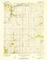
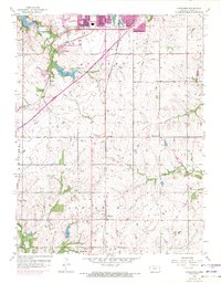
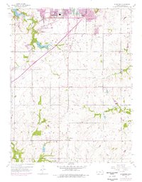
Editions of this 1956 Ocheltree Map
4 editions found
Other maps of this area

1887 · Olathe
USGS Topo · 1:125,000

1893 · Olathe
USGS Topo · 1:125,000

1935 · Olathe
USGS Topo · 1:24,000

1935 · Lenexa
USGS Topo · 1:24,000

1943 · Lenexa
USGS Topo · 1:31,680

1943 · Olathe
USGS Topo · 1:31,680

1947 · Lawrence
USGS Topo · 1:250,000

1950 · Lawrence
USGS Topo · 1:250,000

1951 · De Soto
USGS Topo · 1:24,000

1956 · Stilwell
USGS Topo · 1:24,000