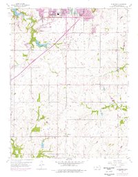
1956 Map of Ocheltree
USGS Topo · Published 1976About this map
Olathe serves as the focal point for this mid-century survey of Johnson County, showing the suburban expansion of the 1970s layered over a traditional rural landscape. The southern expansion of the city is evident, reaching toward the small rail settlements of Bonita and Ocheltree. Transport and water infrastructure dominate the character of the terrain, with the Atchison Topeka and Santa Fe and St Louis San Francisco railroads converging near the city center. The landscape is punctuated by localized industry, such as a Pit and Quarry near Cedar Creek, alongside educational and civic landmarks like Franklin Hall Sch and the Filtration Plant. This era shows the development of major recreational and utility water bodies, specifically Olathe Lake and the New Olathe Lake, which became central to the local geography during this period of growth.
Find a feature on this map
29 named features on this map. Tap any name to fly to it.
Don’t see what you’re looking for? This feature index may not catch every label — zoom into the map to look around manually.
Map Details
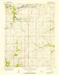
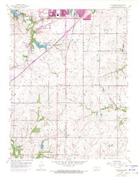
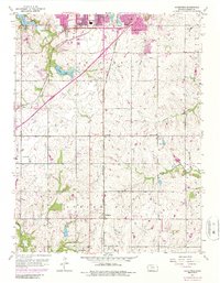
Editions of this 1956 Ocheltree Map
4 editions found
Other maps of this area

1887 · Olathe
USGS Topo · 1:125,000

1893 · Olathe
USGS Topo · 1:125,000

1935 · Olathe
USGS Topo · 1:24,000

1935 · Lenexa
USGS Topo · 1:24,000

1943 · Lenexa
USGS Topo · 1:31,680

1943 · Olathe
USGS Topo · 1:31,680

1947 · Lawrence
USGS Topo · 1:250,000

1950 · Lawrence
USGS Topo · 1:250,000

1951 · De Soto
USGS Topo · 1:24,000

1956 · Stilwell
USGS Topo · 1:24,000