
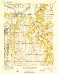
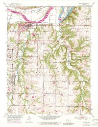
1951 Map of De Soto
USGS Topo · Published 1952About this map
The Sunflower Ordnance Works dominates the western edge of this landscape, reflecting the military-industrial growth in Johnson County shortly after the Second World War. Centered on the town of De Soto, the map reveals a post-war rural environment transitioning toward increased infrastructure, visible in the Filtration Plant and Sewage Disposal facilities. The Kansas River and its accompanying rail lines, including the Union Pacific and Atchison Topeka and Santa Fe, provide the primary east-west corridors through the northern sections of Lexington and Olathe townships.
Find a feature on this map
31 named features on this map. Tap any name to fly to it.
Don’t see what you’re looking for? This feature index may not catch every label — zoom into the map to look around manually.
Map Details
Editions of this 1951 De Soto Map
6 editions found
Other maps of this area

1885 · Lawrence
USGS Topo · 1:125,000

1886 · Oskaloosa
USGS Topo · 1:125,000

1887 · Olathe
USGS Topo · 1:125,000

1888 · Oskaloosa
USGS Topo · 1:125,000

1889 · Lawrence
USGS Topo · 1:125,000

1890 · Kansas City
USGS Topo · 1:125,000

1893 · Olathe
USGS Topo · 1:125,000

1894 · Kansas City
USGS Topo · 1:125,000

1894 · Oskaloosa
USGS Topo · 1:125,000

1934 · Bonner Springs
USGS Topo · 1:48,000