Loading...
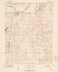
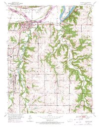
Loading map...1951 Map of De Soto
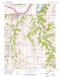
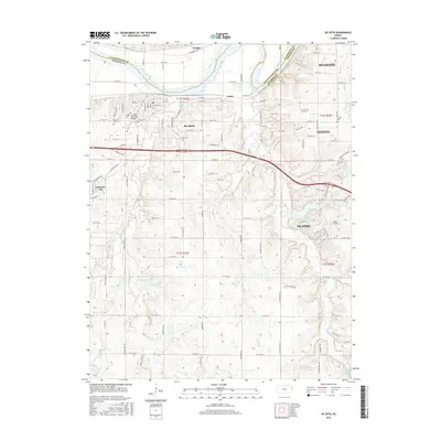
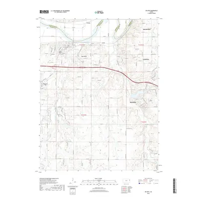
USGS Topo · Published 1976About this map
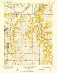
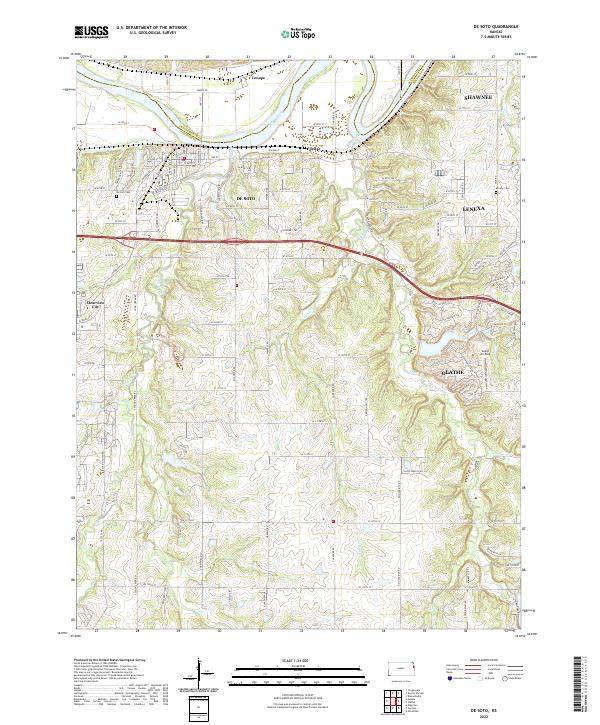
The Sunflower Ordnance Works dominates the western edge of this mid-century landscape, providing a striking industrial contrast to the surrounding farmsteads and rural school districts of Johnson County. The Kansas River winds along the northern boundary, flanked by the Union Pacific and the Atchison Topeka and Santa Fe railroads, which served the settlements of De Soto and Lenape.
Find a feature on this map
31 named features on this map. Tap any name to fly to it.
Don’t see what you’re looking for? This feature index may not catch every label — zoom into the map to look around manually.
Map Details
Date Portrayed1951
Date Published1976
PublisherU.S. Geological Survey
Map TypeTopographic
Scale1:24,000
Physical Dimensions21.05 x 27.05 inches
Editions of this 1951 De Soto Map
6 editions found
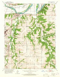

Historical Maps of Olathe Through Time
7 maps found
Featured Locations
Source Details
SourceU.S. Geological Survey
CopyrightPublic Domain