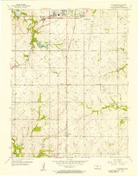
1956 Map of Ocheltree
USGS Topo · Published 1957About this map
The southern expansion of Olathe and its surrounding rural townships take shape in this mid-century survey of Johnson County. The landscape is defined by the intersection of major rail corridors, including the Atchison Topeka and Santa Fe and the St Louis and San Francisco, which served as the primary infrastructure for the small agrarian communities of Clare, Bonita, and Ocheltree. The creation of Olathe Lake and the nearby Filtration Plant indicate the transition from a purely agricultural region to a suburbanizing one, providing critical water infrastructure for the growing population.
Find a feature on this map
24 named features on this map. Tap any name to fly to it.
Don’t see what you’re looking for? This feature index may not catch every label — zoom into the map to look around manually.
Map Details
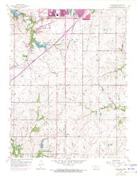
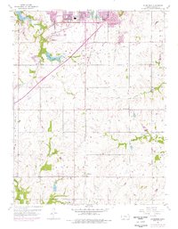
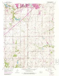
Editions of this 1956 Ocheltree Map
4 editions found
Other maps of this area

1887 · Olathe
USGS Topo · 1:125,000

1893 · Olathe
USGS Topo · 1:125,000

1935 · Olathe
USGS Topo · 1:24,000

1935 · Lenexa
USGS Topo · 1:24,000

1943 · Lenexa
USGS Topo · 1:31,680

1943 · Olathe
USGS Topo · 1:31,680

1947 · Lawrence
USGS Topo · 1:250,000

1950 · Lawrence
USGS Topo · 1:250,000

1951 · De Soto
USGS Topo · 1:24,000

1956 · Stilwell
USGS Topo · 1:24,000