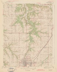
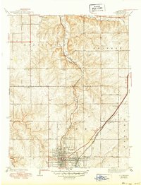
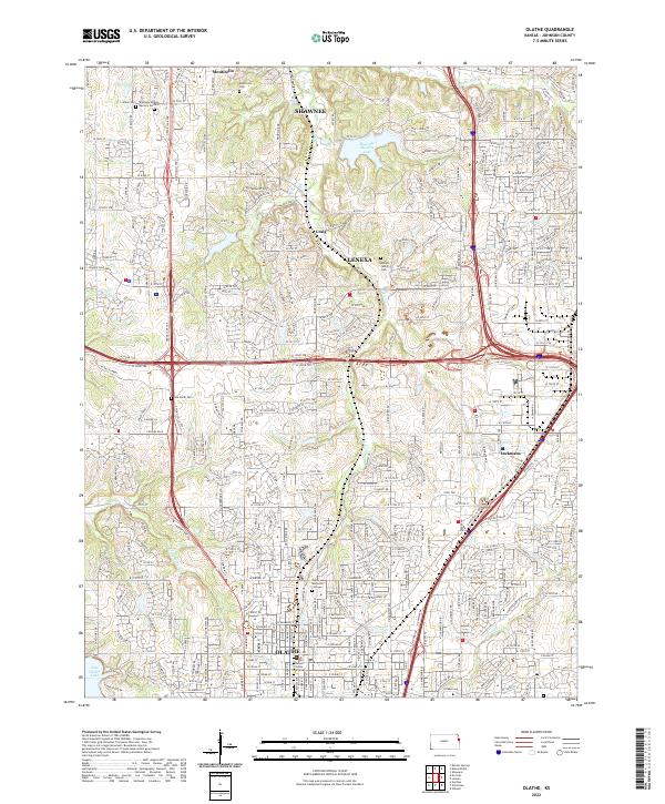
1943 Map of Olathe
USGS Topo · Published 1943About this map
The growing town of Olathe sits at the southern edge of this Johnson County landscape, defined by a dense grid of streets and the convergence of major rail lines. Surveyed in 1935, the map documents a transition from the established rail-based commerce of the Atchison Topeka and Santa Fe to the emerging highway networks. North of the city, the terrain is shaped by the winding courses of Mill Creek, Cedar Creek, and Indian Creek, where rural life is anchored by a remarkable density of local institutions. Schools such as Prairie Star Sch and Sunlight Sch are scattered across the townships of Monticello and Shawnee, while social hubs like the Summerfield Grange Hall and landmarks like the County Farm illustrate the civic infrastructure of this pre-war agrarian community.
Find a feature on this map
29 named features on this map. Tap any name to fly to it.
Don’t see what you’re looking for? This feature index may not catch every label — zoom into the map to look around manually.
Map Details
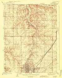
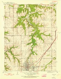
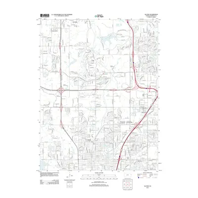
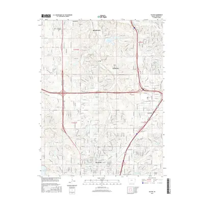
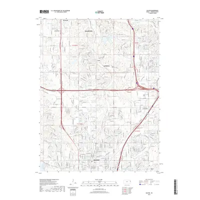
Editions of this 1943 Olathe Map
3 editions found
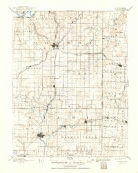
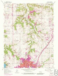
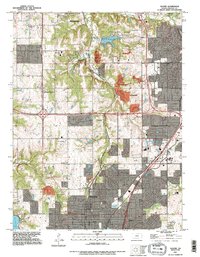
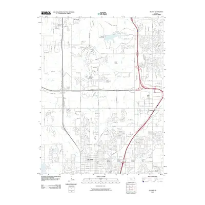
Historical Maps of Olathe Through Time
12 maps found

1887 Olathe
Johnson County, KS
1893 Olathe
Johnson County, KS
1935 Olathe
Johnson County, KS
1943 Olathe
Johnson County, KS
1956 Olathe
Johnson County, KS

1983 Olathe
Johnson County, KS
1991 Olathe
Johnson County, KS
2009 Olathe
Johnson County, KS
2012 Olathe
Johnson County, KS
2015 Olathe
Johnson County, KS
2018 Olathe
Johnson County, KS
2022 Olathe
Johnson County, KS