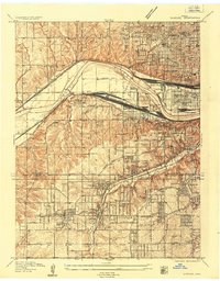
1934 Map of Shawnee
USGS Topo · Published 1934About this map
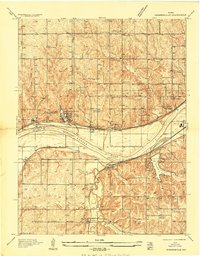
The Kansas River corridor dominates this mid-1930s landscape, serving as a busy industrial and transportation artery where the Atchison Topeka and Santa Fe and the Union Pacific and Rock Island Line converge. This survey captures a period of significant suburban development across the Wyandotte and Johnson County line, evidenced by the dense grid of residential streets expanding from Rosedale and South Park.
Find a feature on this map
61 named features on this map. Tap any name to fly to it.
Don’t see what you’re looking for? This feature index may not catch every label — zoom into the map to look around manually.
Map Details
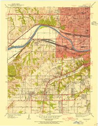
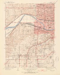
Editions of this 1934 Shawnee Map
3 editions found
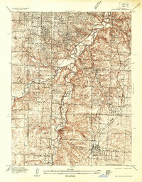
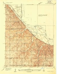
Other maps of this area

1887 · Olathe
USGS Topo · 1:125,000

1890 · Kansas City
USGS Topo · 1:125,000

1893 · Olathe
USGS Topo · 1:125,000

1894 · Kansas City
USGS Topo · 1:125,000

1934 · Bonner Springs
USGS Topo · 1:48,000
1934 · Grandview
USGS Topo · 1:24,000
1934 · Edwardsville
USGS Topo · 1:24,000
1934 · Wolcott
USGS Topo · 1:24,000
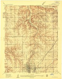
1935 · Olathe
USGS Topo · 1:24,000
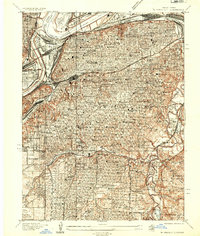
1935 · Kansas City
USGS Topo · 1:24,000