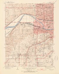
1934 Map of Shawnee
USGS Topo · Published 1954About this map
The Kansas River cuts a sharp oxbow through this mid-1930s landscape, serving as a corridor for an extensive network of rail lines including the Union Pacific, A T and S F, and K C S. This industrial and transit hub is defined by the proximity of Argentine and Turner, where the infrastructure of the Oil Storage Pits and various railyards meets the residential expansion of Wyandotte and Johnson Counties. The map reveals a densely organized social fabric, evidenced by numerous institutional landmarks such as the Grandview Sanitarium, St Margarets Hospital, and the School for Blind.
Find a feature on this map
95 named features on this map. Tap any name to fly to it.
Don’t see what you’re looking for? This feature index may not catch every label — zoom into the map to look around manually.
Map Details
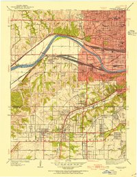
Editions of this 1934 Shawnee Map
3 editions found
Other maps of this area

1887 · Olathe
USGS Topo · 1:125,000

1890 · Kansas City
USGS Topo · 1:125,000

1893 · Olathe
USGS Topo · 1:125,000

1894 · Kansas City
USGS Topo · 1:125,000

1934 · Bonner Springs
USGS Topo · 1:48,000

1934 · Grandview
USGS Topo · 1:24,000

1934 · Shawnee
USGS Topo · 1:24,000

1934 · Edwardsville
USGS Topo · 1:24,000

1934 · Wolcott
USGS Topo · 1:24,000

1935 · Olathe
USGS Topo · 1:24,000