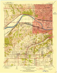
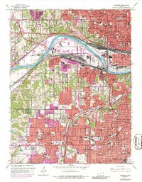
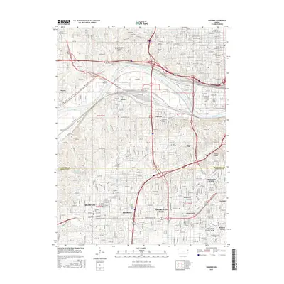
1934 Map of Shawnee
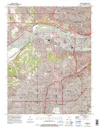
USGS Topo · Published 1954About this map
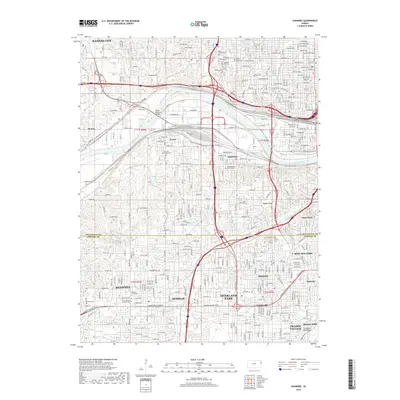
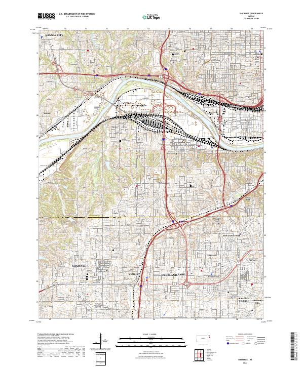
The Kansas River winds through a landscape of emerging suburban density and heavy industrial rail corridors in this mid-1930s survey of the Kansas-Missouri border region. In Kansas City, a dense network of civic and medical institutions like the School for Blind, St Margarets Hospital, and the Soldiers Sailors Memorial defines the urban core, while the expansive yards of the Atchison Topeka and Santa Fe and Union Pacific railroads dominate the river flats near Turner.
Find a feature on this map
93 named features on this map. Tap any name to fly to it.
Don’t see what you’re looking for? This feature index may not catch every label — zoom into the map to look around manually.
Map Details
Editions of this 1934 Shawnee Map
3 editions found
Historical Maps of Overland Park Through Time
10 maps found
1934 Shawnee
Johnson County, KS

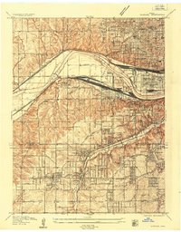
1943 Shawnee
Johnson County, KS
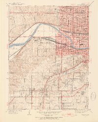
1957 Shawnee
Johnson County, KS
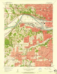
1964 Shawnee
Johnson County, KS
1991 Shawnee
Johnson County, KS
2009 Shawnee
Johnson County, KS
2012 Shawnee
Johnson County, KS
2015 Shawnee
Johnson County, KS
2018 Shawnee
Johnson County, KS
2022 Shawnee
Johnson County, KS