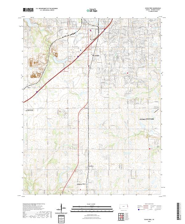
2022 Map of Ocheltree
USGS Topo · Published 2022About this map
Olathe and its southern neighboring communities form a rapidly changing landscape in Johnson County, transitioning from dense suburban developments to the more open agricultural fields of Spring Hill. The northern half of the area is heavily marked by residential expansion near Olathe Lake and Mount Calvary Catholic Cem, while the southern reaches preserve the identity of older railroad-aligned settlements like Ocheltree and Bonita. A complex network of waterways, including Coffee Cr and Wolf Cr, carves through the terrain, illustrating the drainage patterns that shaped local development before the modern road grid took hold. This map is particularly valuable for identifying how modern Overland Park and Gardner have grown toward these smaller, once-distinct villages, and it preserves the location of landmarks like the Clear View Farm Airport alongside traditional township lines.
Find a feature on this map
177 named features on this map. Tap any name to fly to it.
Don’t see what you’re looking for? This feature index may not catch every label — zoom into the map to look around manually.
Map Details
Editions of this 2022 Ocheltree Map
This is the sole edition of this map. No revisions or reprints were ever made.
Other maps of this area

1887 · Olathe
USGS Topo · 1:125,000

1893 · Olathe
USGS Topo · 1:125,000

1935 · Olathe
USGS Topo · 1:24,000

1935 · Lenexa
USGS Topo · 1:24,000

1943 · Lenexa
USGS Topo · 1:31,680

1943 · Olathe
USGS Topo · 1:31,680

1947 · Lawrence
USGS Topo · 1:250,000

1950 · Lawrence
USGS Topo · 1:250,000

1951 · De Soto
USGS Topo · 1:24,000

1956 · Stilwell
USGS Topo · 1:24,000