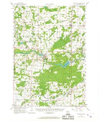
1956 Map of Oconto Falls
USGS Topo · Published 1967About this map
Oconto Falls serves as the industrial and topographic center of this mid-century Wisconsin landscape, situated along the winding Oconto River. The presence of the Machickanee Flowage and the Flats Recreation Area suggests a region defined by water management and local leisure. The infrastructure of the era is clearly marked by the intersection of the Chicago and North Western and the Chicago Milwaukee St Paul and Pacific railroads at Stiles Junction, highlighting the importance of rail transport for the surrounding dairy and timber lands.
Find a feature on this map
71 named features on this map. Tap any name to fly to it.
Don’t see what you’re looking for? This feature index may not catch every label — zoom into the map to look around manually.
Map Details
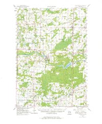
Editions of this 1956 Oconto Falls Map
3 editions found

Other maps of this area

1939 · Porterfield
USGS Topo · 1:48,000

1941 · Coleman
USGS Topo · 1:48,000

1942 · Coleman
USGS Topo · 1:48,000

1942 · Breed
USGS Topo · 1:48,000

1942 · Porterfield
USGS Topo · 1:48,000

1950 · Coleman
USGS Topo · 1:48,000

1952 · Mountain
USGS Topo · 1:48,000

1954 · New Franken
USGS Topo · 1:62,500

1954 · Iron Mountain
USGS Topo · 1:250,000

1954 · Escanaba
USGS Topo · 1:250,000