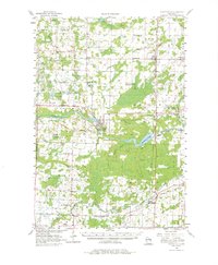
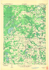
1956 Map of Oconto Falls
USGS Topo · Published 1980About this map
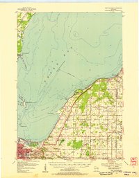
The Oconto River defines the mid-century industrial and agricultural character of this Oconto County landscape. At its center, the city of Oconto Falls sits at a strategic river bend, supported by the Chicago and North Western railway and the nearby Machickanee Flowage. The map captures a dense network of rural infrastructure, from the Stiles Lookout Tower to numerous family-named schools like Degantown Sch and Dombroski Lake. Settlement patterns follow the river and rail lines, connecting the village of Stiles with smaller communities such as Spruce, Lena, and Abrams. This mid-1950s record preserves a specific moment before the consolidation of rural districts, evidenced by the still-active North Morgan Sch and the already noted Meadow Brook Sch (Abandoned). The presence of Matravers Landing Field and various township cemeteries provides a wealth of detail for local historians and genealogists.
Find a feature on this map
72 named features on this map. Tap any name to fly to it.
Don’t see what you’re looking for? This feature index may not catch every label — zoom into the map to look around manually.
Map Details
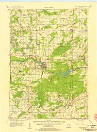
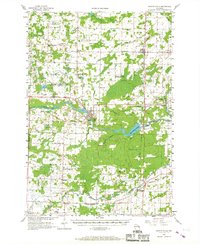
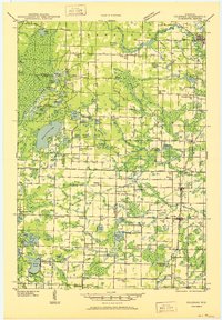
Editions of this 1956 Oconto Falls Map
3 editions found
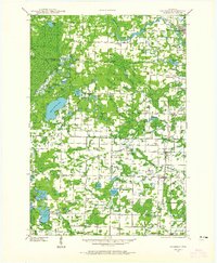
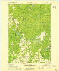
Other maps of this area

1939 · Porterfield
USGS Topo · 1:48,000
1941 · Coleman
USGS Topo · 1:48,000
1942 · Coleman
USGS Topo · 1:48,000
1942 · Breed
USGS Topo · 1:48,000

1942 · Porterfield
USGS Topo · 1:48,000
1950 · Coleman
USGS Topo · 1:48,000
1952 · Mountain
USGS Topo · 1:48,000
1954 · New Franken
USGS Topo · 1:62,500

1954 · Iron Mountain
USGS Topo · 1:250,000

1954 · Escanaba
USGS Topo · 1:250,000