
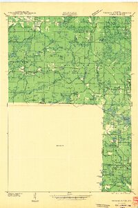
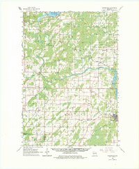
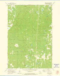
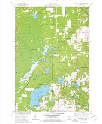
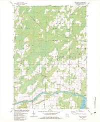
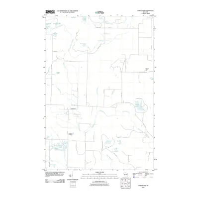
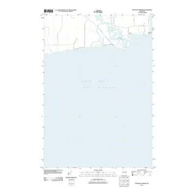
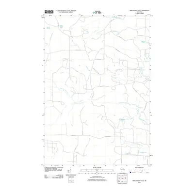
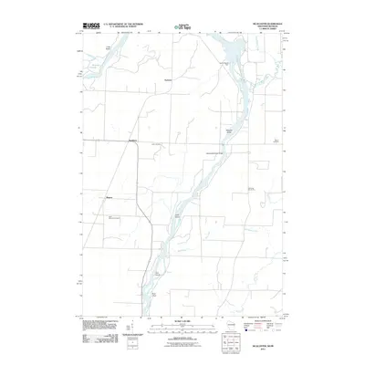
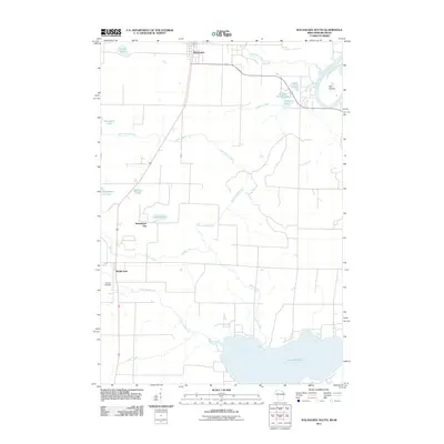
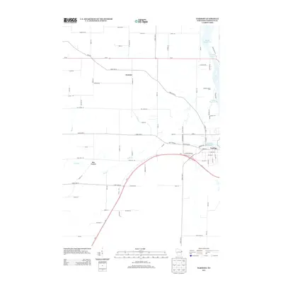
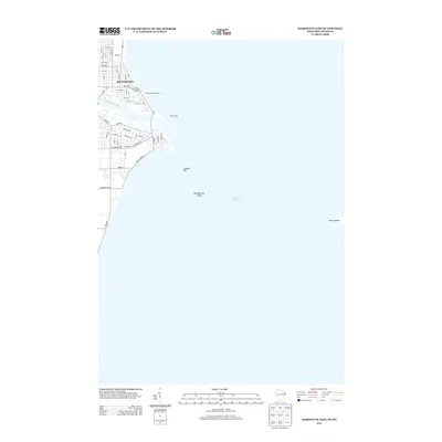
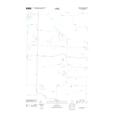
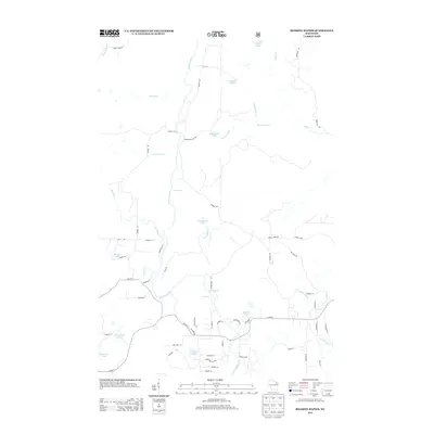
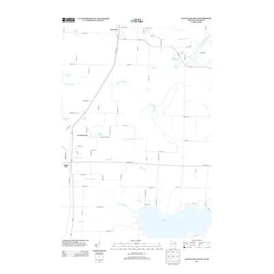
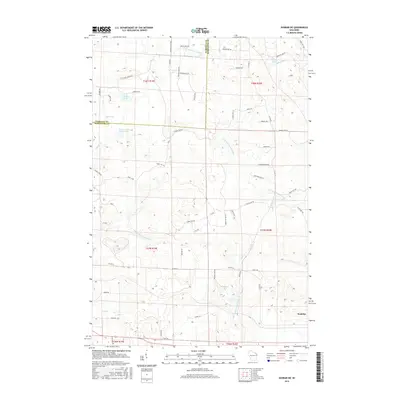
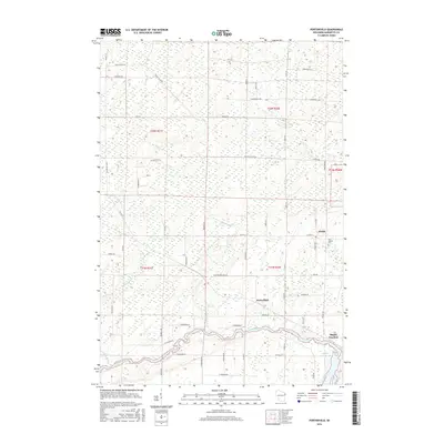
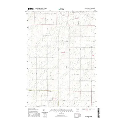
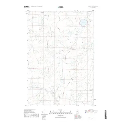
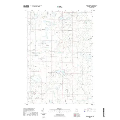
1939 Map of Porterfield
USGS Topo · Published 1952About this map
The Peshtigo River winds through the heart of Marinette County, powering the Potato Rapids Power Dam and defining the local economy during the late 1930s. This survey illustrates a landscape transitioning from wilder marshlands and timber tracts to an organized network of rural school districts. One can trace the proliferation of dozens of local schoolhouses, including the Hale Road Sch, Section Seven Sch, and Evergreen Sch, which served the scattered farming communities of Lake and Grover townships.
Find a feature on this map
65 named features on this map. Tap any name to fly to it.
Don’t see what you’re looking for? This feature index may not catch every label — zoom into the map to look around manually.
Map Details
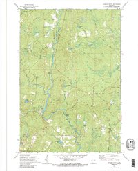
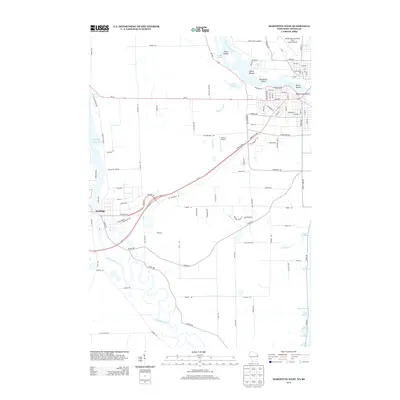
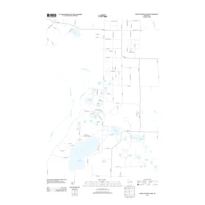
Editions of this 1939 Porterfield Map
This is the sole edition of this map. No revisions or reprints were ever made.
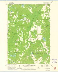
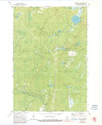
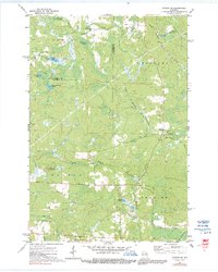
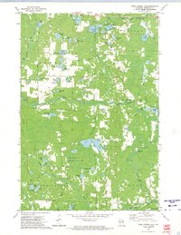
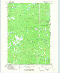
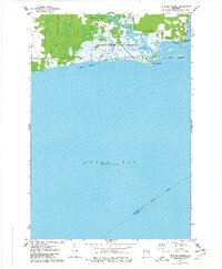
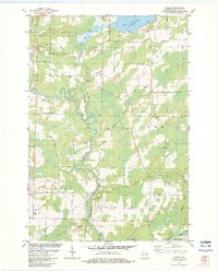
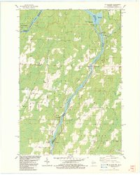
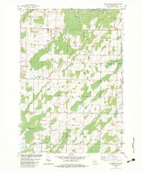
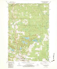
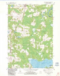
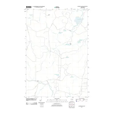
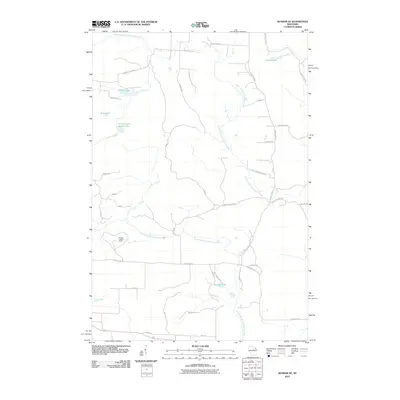
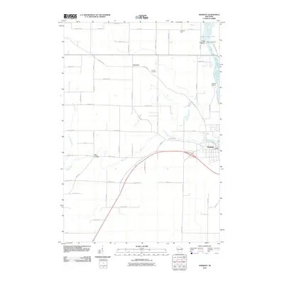
Historical Maps of Peshtigo Through Time
134 maps found
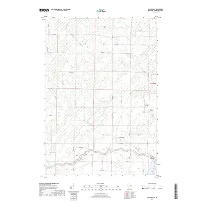
1939 Porterfield
Marinette County, WI

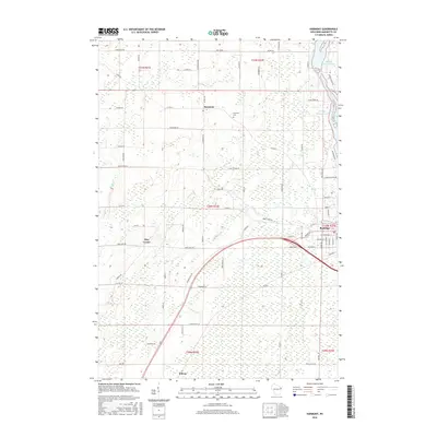
1940 Athelstane
Marinette County, WI
1940 Thunder River
Marinette County, WI

1942 Athelstane
Marinette County, WI

1942 Porterfield
Marinette County, WI
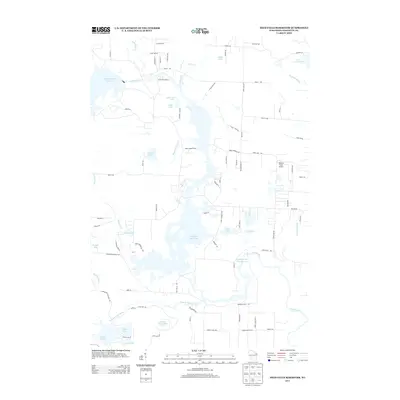
1951 Thunder Mountain
Marinette County, WI
1963 Marinette East
Marinette County, WI
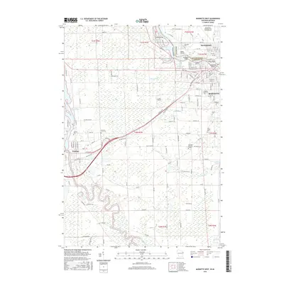
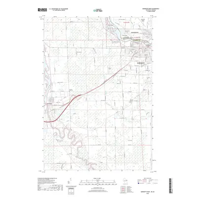
1963 Marinette West
Marinette County, WI
1963 Porterfield
Marinette County, WI
1972 Athelstane
Marinette County, WI
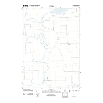
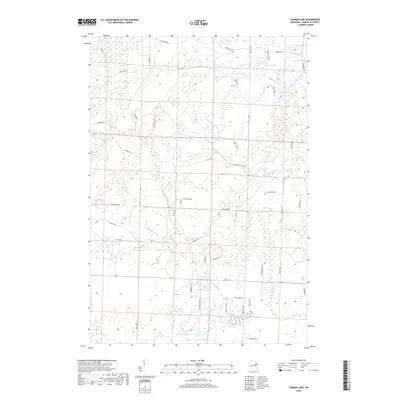
1972 Coleman Lake
Marinette County, WI
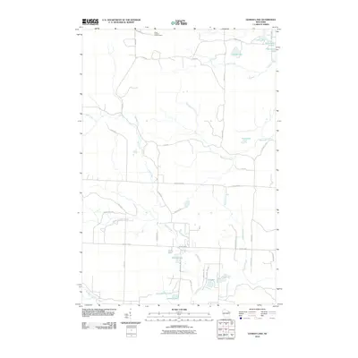
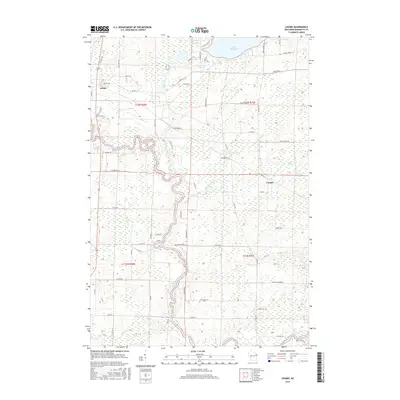
1972 Dunbar NE
Marinette County, WI

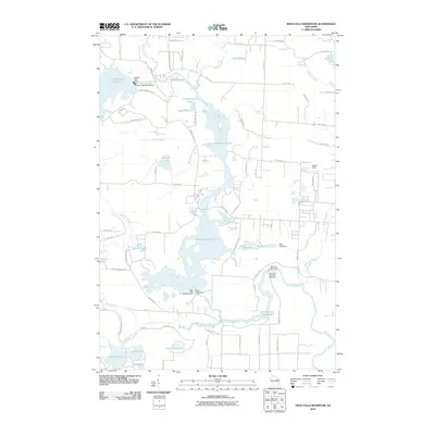
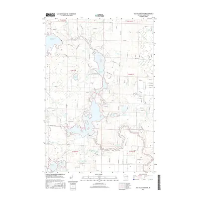
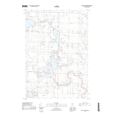
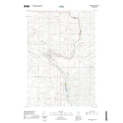
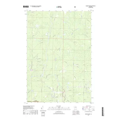
1972 High Falls Reservoir
Marinette County, WI
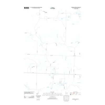
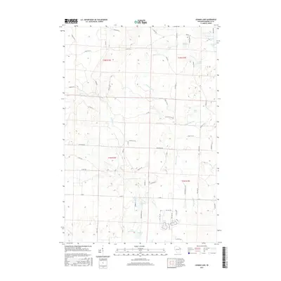
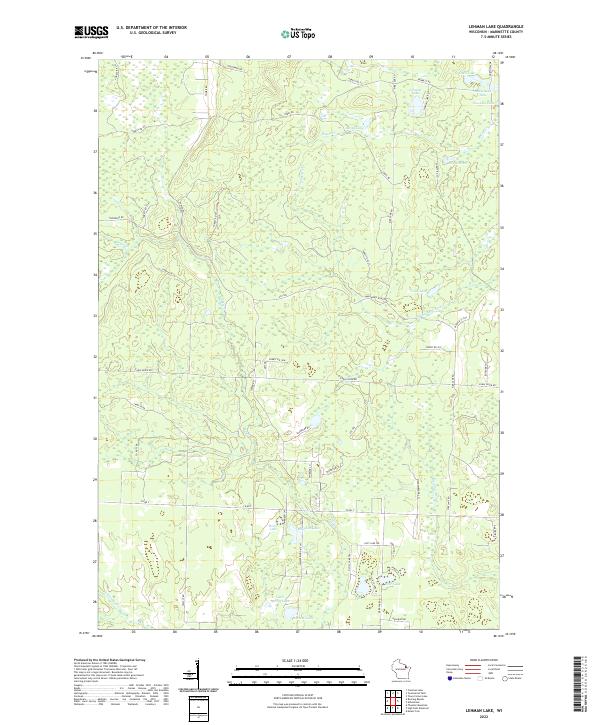
1972 Lehman Lake
Marinette County, WI

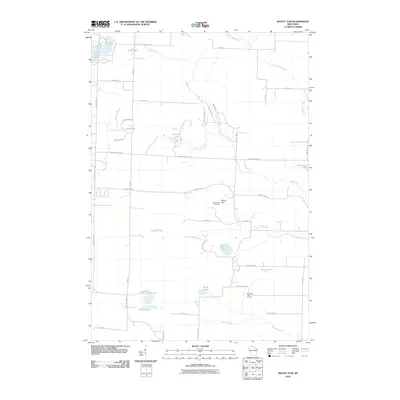
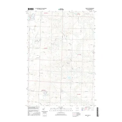
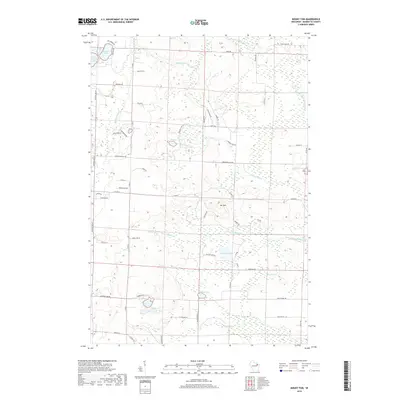
1972 Mount Tom
Marinette County, WI
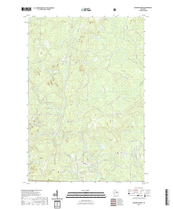
1972 Roaring Rapids
Marinette County, WI
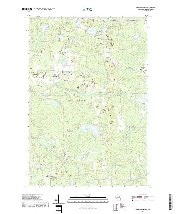
1972 Town Corner Lake
Marinette County, WI
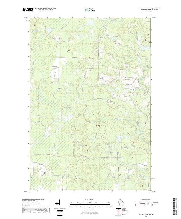
1972 Twelvefoot Falls
Marinette County, WI
1973 White Potato Lake
Marinette County, WI
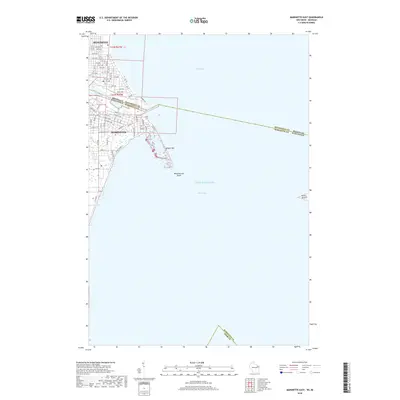
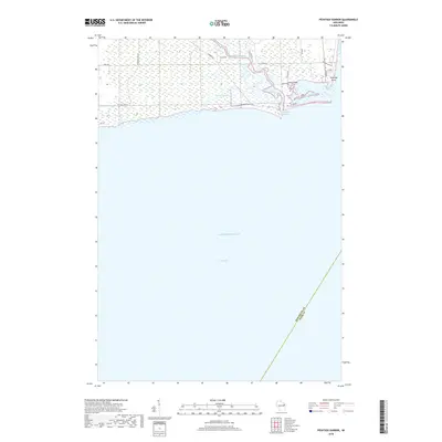
1974 Peshtigo Harbor
Marinette County, WI

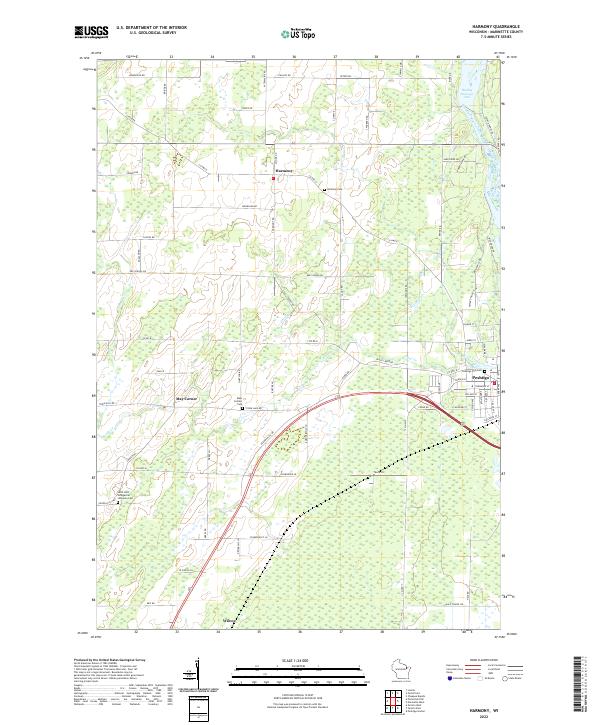
1982 Harmony
Marinette County, WI
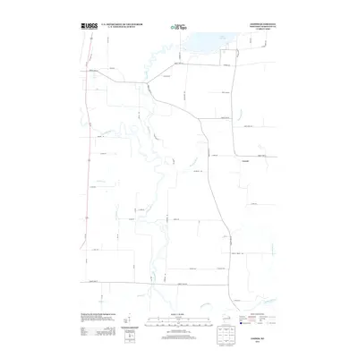
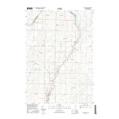
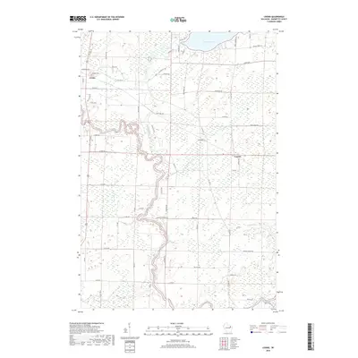
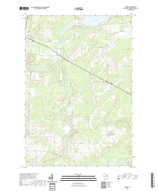
1982 Loomis
Marinette County, WI
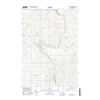
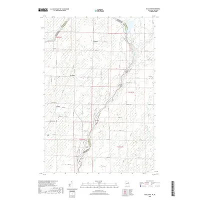
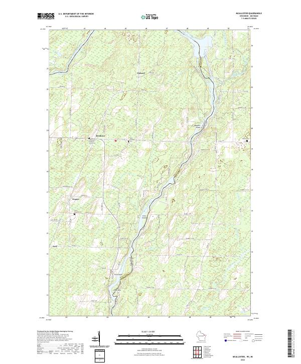
1982 Mc Allister
Marinette County, WI

1982 Miscauno Island
Marinette County, WI
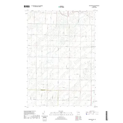
1982 Porterfield
Marinette County, WI
1982 Porterfield SW
Marinette County, WI
1982 Wausaukee North
Marinette County, WI
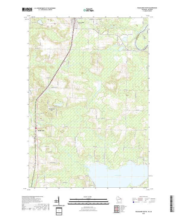
1982 Wausaukee South
Marinette County, WI
2010 Athelstane
Marinette County, WI
2010 Coleman Lake
Marinette County, WI
2010 Dunbar NE
Marinette County, WI
2010 Harmony
Marinette County, WI
2010 High Falls Reservoir
Marinette County, WI
2010 Lehman Lake
Marinette County, WI
2010 Loomis
Marinette County, WI
2010 Mount Tom
Marinette County, WI
2010 Peshtigo Harbor
Marinette County, WI
2010 Porterfield
Marinette County, WI
2010 Porterfield SW
Marinette County, WI
2010 Town Corner Lake
Marinette County, WI
2010 Twelvefoot Falls
Marinette County, WI
2010 White Potato Lake
Marinette County, WI
2011 Marinette East
Marinette County, WI
2011 Marinette West
Marinette County, WI
2011 McAllister
Marinette County, WI
2011 Miscauno Island
Marinette County, WI
2011 Roaring Rapids
Marinette County, WI
2011 Wausaukee North
Marinette County, WI
2011 Wausaukee South
Marinette County, WI
2013 Athelstane
Marinette County, WI
2013 Coleman Lake
Marinette County, WI
2013 Dunbar NE
Marinette County, WI
2013 Harmony
Marinette County, WI
2013 High Falls Reservoir
Marinette County, WI
2013 Lehman Lake
Marinette County, WI
2013 Loomis
Marinette County, WI
2013 Marinette East
Marinette County, WI
2013 Marinette West
Marinette County, WI
2013 McAllister
Marinette County, WI
2013 Miscauno Island
Marinette County, WI
2013 Mount Tom
Marinette County, WI
2013 Peshtigo Harbor
Marinette County, WI
2013 Porterfield
Marinette County, WI
2013 Porterfield SW
Marinette County, WI
2013 Roaring Rapids
Marinette County, WI
2013 Town Corner Lake
Marinette County, WI
2013 Twelvefoot Falls
Marinette County, WI
2013 Wausaukee North
Marinette County, WI
2013 Wausaukee South
Marinette County, WI
2013 White Potato Lake
Marinette County, WI
2015 Athelstane
Marinette County, WI
2015 Coleman Lake
Marinette County, WI
2015 Dunbar NE
Marinette County, WI
2015 High Falls Reservoir
Marinette County, WI
2015 Lehman Lake
Marinette County, WI
2015 Mount Tom
Marinette County, WI
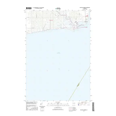
2015 Peshtigo Harbor
Marinette County, WI
2015 Roaring Rapids
Marinette County, WI
2015 Town Corner Lake
Marinette County, WI
2015 Twelvefoot Falls
Marinette County, WI
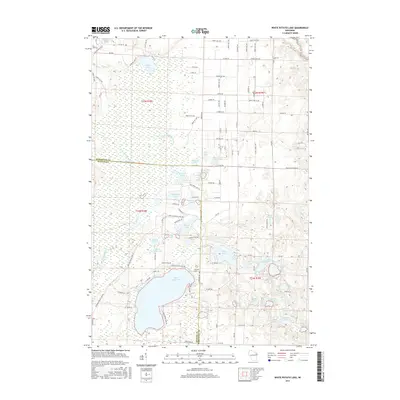
2015 White Potato Lake
Marinette County, WI
2016 Harmony
Marinette County, WI
2016 Loomis
Marinette County, WI
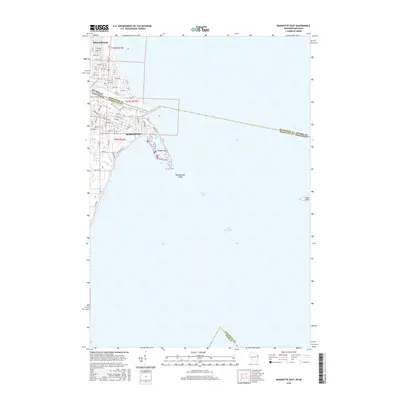
2016 Marinette East
Marinette County, WI
2016 Marinette West
Marinette County, WI
2016 McAllister
Marinette County, WI
2016 Miscauno Island
Marinette County, WI
2016 Porterfield
Marinette County, WI
2016 Porterfield SW
Marinette County, WI
2016 Wausaukee North
Marinette County, WI
2016 Wausaukee South
Marinette County, WI
2018 Athelstane
Marinette County, WI
2018 Coleman Lake
Marinette County, WI
2018 Dunbar NE
Marinette County, WI
2018 Green Bay (All Water)
Marinette County, WI
2018 Harmony
Marinette County, WI
2018 High Falls Reservoir
Marinette County, WI
2018 Lehman Lake
Marinette County, WI
2018 Loomis
Marinette County, WI
2018 Marinette East
Marinette County, WI
2018 Marinette West
Marinette County, WI
2018 McAllister
Marinette County, WI
2018 Miscauno Island
Marinette County, WI
2018 Mount Tom
Marinette County, WI
2018 Peshtigo Harbor
Marinette County, WI
2018 Porterfield
Marinette County, WI
2018 Porterfield SW
Marinette County, WI
2018 Roaring Rapids
Marinette County, WI
2018 Town Corner Lake
Marinette County, WI
2018 Twelvefoot Falls
Marinette County, WI
2018 Wausaukee North
Marinette County, WI
2018 Wausaukee South
Marinette County, WI
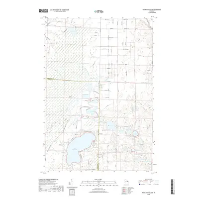
2018 White Potato Lake
Marinette County, WI
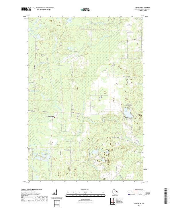
2022 Athelstane
Marinette County, WI
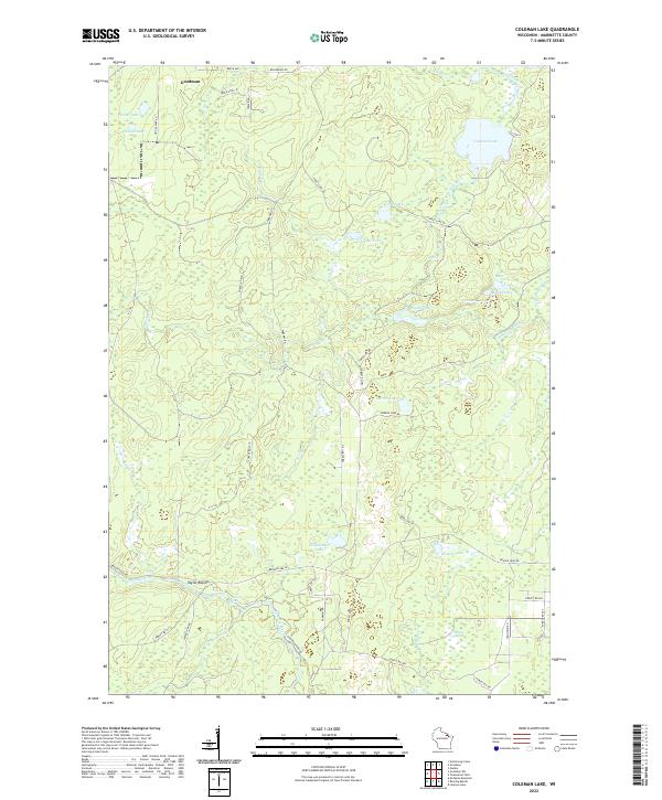
2022 Coleman Lake
Marinette County, WI
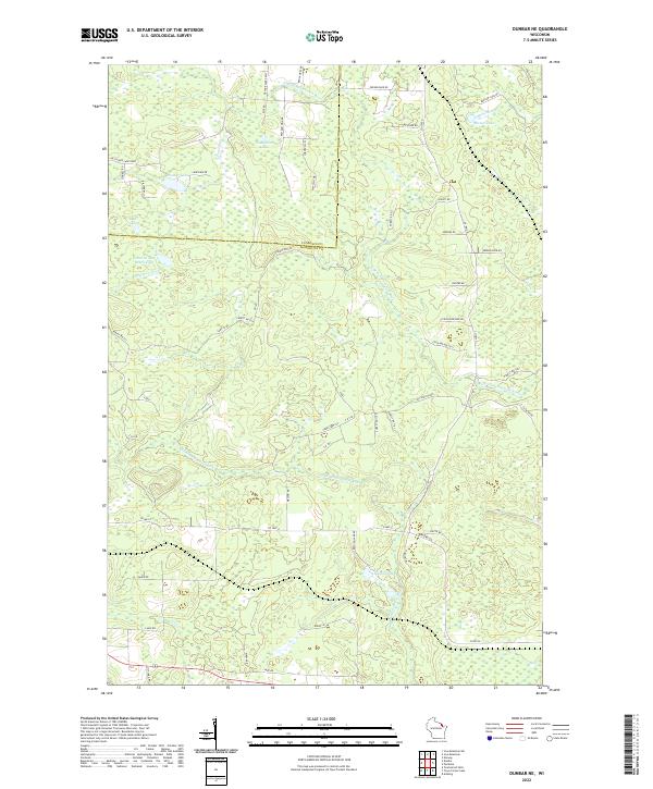
2022 Dunbar NE
Marinette County, WI
2022 Harmony
Marinette County, WI
2022 Lehman Lake
Marinette County, WI
2022 Loomis
Marinette County, WI

2022 Marinette East
Marinette County, WI

2022 Marinette West
Marinette County, WI
2022 McAllister
Marinette County, WI
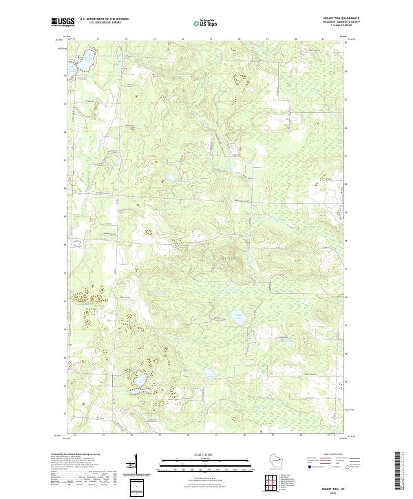
2022 Mount Tom
Marinette County, WI
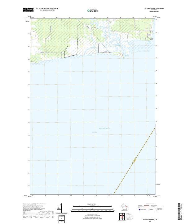
2022 Peshtigo Harbor
Marinette County, WI
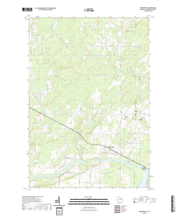
2022 Porterfield
Marinette County, WI
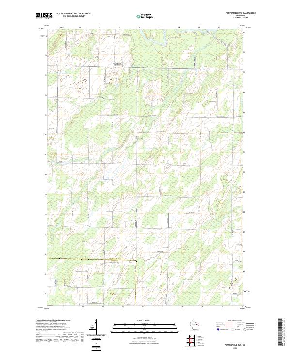
2022 Porterfield SW
Marinette County, WI
2022 Roaring Rapids
Marinette County, WI
2022 Town Corner Lake
Marinette County, WI
2022 Twelvefoot Falls
Marinette County, WI
2022 Wausaukee South
Marinette County, WI
2022 White Potato Lake
Marinette County, WI
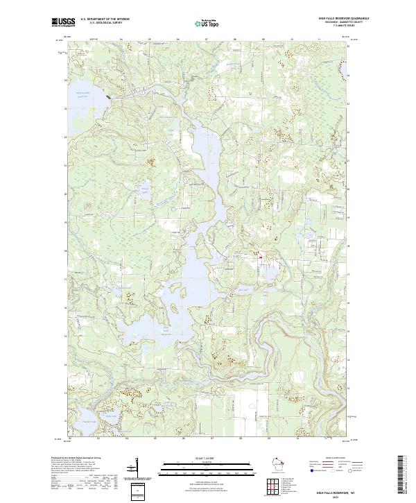
2023 High Falls Reservoir
Marinette County, WI
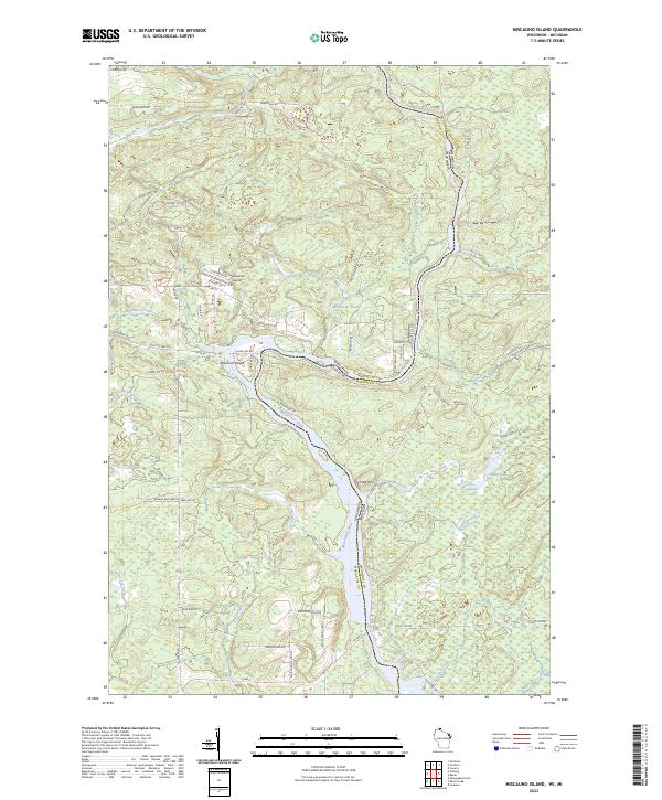
2023 Miscauno Island
Marinette County, WI
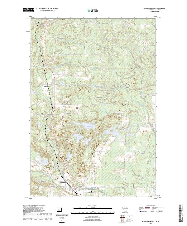
2023 Wausaukee North
Marinette County, WI