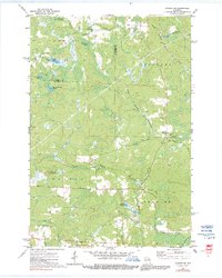
1972 Map of Dunbar NE
USGS Topo · Published 1991About this map
The North Branch Pemebonwon River and South Branch Pemebonwon River anchor this mid-century survey of the Wisconsin Northwoods. This area, spanning the townships of Aurora, Niagara, Dunbar, and Pembine, shows a landscape defined by its glacial hydrology and timber history. The Chicago Milwaukee St Paul and Pacific railroad cuts through the northeastern corner, following the topography near Barlow Lake and Spikehorn Creek. Evidence of local forestry and early resource management is visible at the Dunbar Lookout Tower, while a series of family-named or descriptive water bodies like Johnson & Beach Lake, No Bottom Lake, and Belgian Lake are connected by a network of rural routes including Belgian Lake Road and West Cataline Road. The boundary between Florence and Marinette Counties is clearly delineated across this northern wilderness.
Find a feature on this map
24 named features on this map. Tap any name to fly to it.
Don’t see what you’re looking for? This feature index may not catch every label — zoom into the map to look around manually.
Map Details
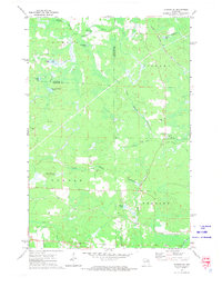
Editions of this 1972 Dunbar NE Map
2 editions found
Other maps of this area

1939 · Pembine
USGS Topo · 1:48,000

1939 · Dunbar
USGS Topo · 1:48,000

1939 · Iron Mountain
USGS Topo · 1:48,000

1941 · Dunbar
USGS Topo · 1:48,000

1941 · Iron Mountain
USGS Topo · 1:48,000

1947 · Pembine
USGS Topo · 1:48,000

1947 · Dunbar
USGS Topo · 1:48,000

1947 · Iron Mountain
USGS Topo · 1:48,000

1954 · Iron Mountain
USGS Topo · 1:250,000

1954 · Escanaba
USGS Topo · 1:250,000