2022 Map of Odem
USGS Topo · Published 2022About this map
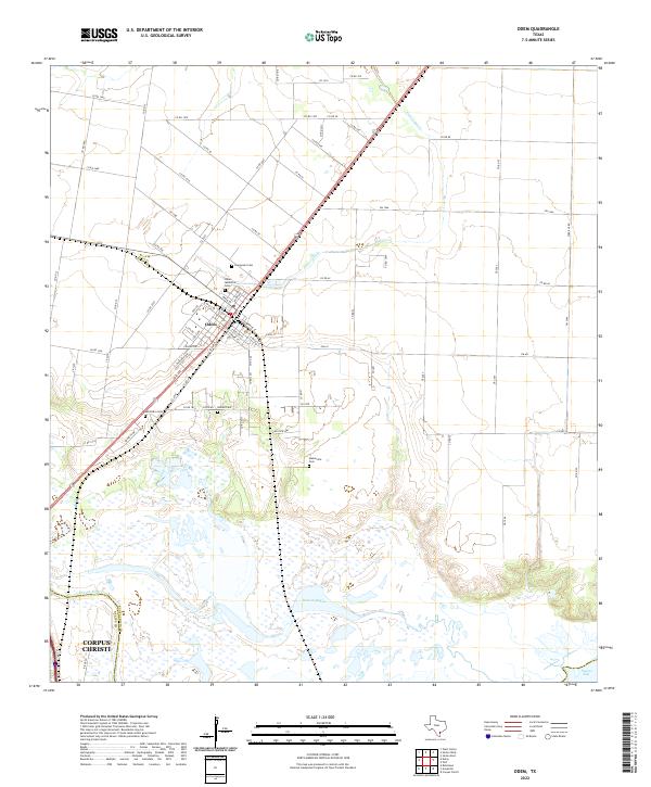
Odem serves as the central hub of this South Texas landscape, situated at a major crossroads in San Patricio Co. The settlement pattern is defined by a dense network of county roads and farm-to-market routes like FM 631 and FM 1944 that service the surrounding agricultural fields. To the south, the terrain transitions into the complex hydrologic system of the Nueces River delta, where Rincon Bayou winds toward the waters of Nueces Bay. This area illustrates the interface between upland ranching or farming and the coastal marshlands. Several family and community burial sites are scattered across the quadrangle, including Evergreen Cem, Odem Memorial Cem, and the more isolated Meansville Cem near the bayou. The southern edge of the map captures the northern outskirts of Corpus Christi, marking the transition from rural county life to urban expansion along the river boundary.
Find a feature on this map
82 named features on this map. Tap any name to fly to it.
Don’t see what you’re looking for? This feature index may not catch every label — zoom into the map to look around manually.
Map Details
Editions of this 2022 Odem Map
This is the sole edition of this map. No revisions or reprints were ever made.
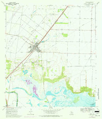
Historical Maps of Bethel Estates Number 1 Colonia Through Time
Featured Locations
- Corpus Christi, TX
- Bethel Estates Number 1 Colonia, TX
- Bethel Estates Number 2 Colonia, TX
- Cheyene Colonia, TX
- Odem, TX