2022 Map of Oilton
USGS Topo · Published 2022About this map
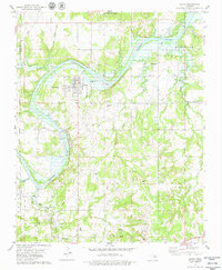
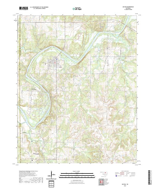
Oilton and its grid of residential streets like W Main St and W Broadway serve as the primary settlement in this corner of the Creek County oil fields. The landscape is defined by the winding course of the Cimarron River, which cuts across the northern half of the area, and several smaller tributaries including Buckeye Creek and Euchee Creek. The map documents a sequence of small settlements and named locales south along the highway corridor, including Markham, Pemeta, Frey, and the northern edge of Drumright. Genealogists will find several burial sites preserved here, such as Highland Cem just west of Oilton, Brooks Cem to the east, and the Drumright North Cem near the southern boundary. To the north, Hilltop Airport and Monitor Hill provide distinct navigational landmarks above the river valley.
Find a feature on this map
50 named features on this map. Tap any name to fly to it.
Don’t see what you’re looking for? This feature index may not catch every label — zoom into the map to look around manually.
Map Details
Editions of this 2022 Oilton Map
This is the sole edition of this map. No revisions or reprints were ever made.