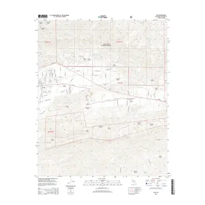
2015 Map of Ojai
USGS Topo · Published 2015About this map
The Ojai settlement and its surrounding agricultural and wilderness lands are captured here at a time of established suburban development and protected forest boundaries. The town center is defined by a dense grid of streets including Grand Ave, N Ventura St, and E Ojai Ave, while the adjacent Ojai Valley and Upper Ojai Valley showcase a transition into larger rural parcels and canyons. To the north, the steep slopes of the Los Padres National Forest rise toward Nordhoff Peak and the prominent Nordhoff Ridge, acting as a natural limit to northern expansion.
Find a feature on this map
91 named features on this map. Tap any name to fly to it.
Don’t see what you’re looking for? This feature index may not catch every label — zoom into the map to look around manually.
Map Details
Editions of this 2015 Ojai Map
This is the sole edition of this map. No revisions or reprints were ever made.
Other maps of this area

1903 · Santa Paula
USGS Topo · 1:62,500

1903 · Mt. Pinos
USGS Topo · 1:125,000

1904 · Ventura
USGS Topo · 1:62,500

1941 · Ventura
USGS Topo · 1:62,500

1942 · Santa Paula
USGS Topo · 1:62,500

1942 · Wheeler Springs
USGS Topo · 1:24,000

1943 · Topatopa Mountains
USGS Topo · 1:24,000

1943 · Lion Canyon
USGS Topo · 1:24,000

1943 · Wheeler Springs
USGS Topo · 1:24,000
1944 · Wheeler Springs
USGS Topo · 1:31,680