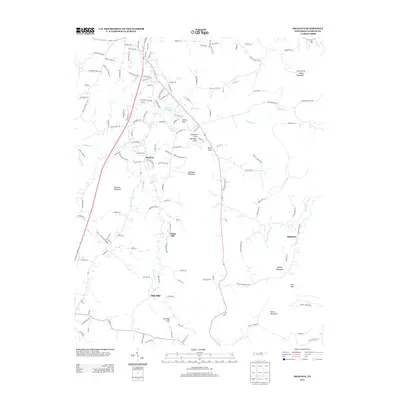
2013 Map of Okalona
USGS Topo · Published 2013About this map
Okalona and the surrounding Highland Rim communities of Union Hill and Oak Hill are defined by a complex landscape of narrow valleys and prominent peaks. The terrain is marked by distinctive coves, including Copeland Cove, Hartsaw Cove, and Eldridge Cove, which serve as natural basins for local drainage. Water remains a central feature of the area, from the industrial utility of Livingston City Lake to the winding paths of the Roaring River and Copeland Cr. The presence of Rock Quarry Ln suggests the local importance of stone extraction, while the network of family-named roads like Bilbrey Rd and Dale Gunnels Ln reflects the deep-rooted residential character of these rural Tennessee ridges. Rising above the settlements are significant heights such as Hellhole Mountain and Gullet Mountain, providing the physical boundaries for these upland communities.
Find a feature on this map
105 named features on this map. Tap any name to fly to it.
Don’t see what you’re looking for? This feature index may not catch every label — zoom into the map to look around manually.
Map Details
Editions of this 2013 Okalona Map
This is the sole edition of this map. No revisions or reprints were ever made.
Other maps of this area

1897 · Standingstone
USGS Topo · 1:125,000

1898 · Standingstone
USGS Topo · 1:125,000

1943 · Cookeville
USGS Topo · 1:100,000

1944 · Cookeville
USGS Topo · 1:100,000

1944 · Livingston
USGS Topo · 1:24,000

1946 · Obey City
USGS Topo · 1:24,000
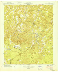
1950 · Obey City
USGS Topo · 1:24,000

1951 · Windle
USGS Topo · 1:24,000

1953 · Cookeville East
USGS Topo · 1:24,000

1954 · Crawford
USGS Topo · 1:24,000