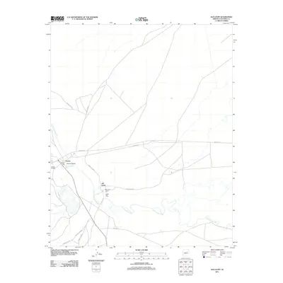
2011 Map of Old Leupp
USGS Topo · Published 2011About this map
Old Leupp and Sunrise anchor this 2011 survey of the high desert landscape in Coconino County, where the meandering course of the Little Colorado River defines the southern terrain. This map documents a critical crossroads of the Navajo Nation, centered on the Old Leupp Trading Post and the Leupp Post Office. The road network is heavily represented by tribal routes including Indian Rte-15 and the Leupp-Oraibi Rd, which facilitate movement across this arid expanse. Further west, the Sunrise Trading Post and the nearby Sunrise Airfield mark a secondary hub of activity. The geography is characterized by dramatic drainage patterns, most notably where the Canyon Diablo Wash cuts through Canyon Diablo before joining the main river valley, illustrating the hydrologic importance of these seasonal and perennial waterways to the local settlements.
Find a feature on this map
18 named features on this map. Tap any name to fly to it.
Don’t see what you’re looking for? This feature index may not catch every label — zoom into the map to look around manually.
Map Details
Editions of this 2011 Old Leupp Map
This is the sole edition of this map. No revisions or reprints were ever made.
Other maps of this area

1883 · Tusayan
USGS Topo · 1:250,000

1886 · Tusayan
USGS Topo · 1:250,000

1886 · San Francisco Mtns
USGS Topo · 1:250,000

1891 · San Francisco Mtns
USGS Topo · 1:250,000

1894 · San Francisco Mtns
USGS Topo · 1:250,000

1899 · San Francisco Mtns
USGS Topo · 1:250,000

1947 · Flagstaff
USGS Topo · 1:250,000

1954 · Flagstaff
USGS Topo · 1:250,000

1955 · Winslow 2 SW
USGS Topo · 1:24,000

1955 · Grand Falls NE
USGS Topo · 1:24,000