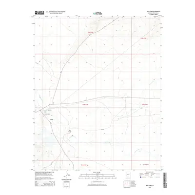
2014 Map of Old Leupp
USGS Topo · Published 2014About this map
The Little Colorado River winds through this high-desert landscape in Coconino County, providing the primary geographical anchor for the established settlements and transit routes. The map documents the spatial relationship between the newer community of Leupp and the site of Old Leupp, reflecting the shifting centers of local life over time. To the northwest, the intersection of Bureau of Indian Affairs routes like Bia-2 and Bia-15 near Sunrise and Canyon Diablo highlights the importance of managed infrastructure in connecting these remote points. The terrain is defined by dry drainage features such as Corn Cr Wash, which underscore the seasonal nature of water in this environment and how it has historically dictated the placement of homesteads and roads.
Find a feature on this map
18 named features on this map. Tap any name to fly to it.
Don’t see what you’re looking for? This feature index may not catch every label — zoom into the map to look around manually.
Map Details
Editions of this 2014 Old Leupp Map
This is the sole edition of this map. No revisions or reprints were ever made.
Other maps of this area

1883 · Tusayan
USGS Topo · 1:250,000

1886 · Tusayan
USGS Topo · 1:250,000

1886 · San Francisco Mtns
USGS Topo · 1:250,000

1891 · San Francisco Mtns
USGS Topo · 1:250,000

1894 · San Francisco Mtns
USGS Topo · 1:250,000

1899 · San Francisco Mtns
USGS Topo · 1:250,000

1947 · Flagstaff
USGS Topo · 1:250,000

1954 · Flagstaff
USGS Topo · 1:250,000

1955 · Winslow 2 SW
USGS Topo · 1:24,000

1955 · Grand Falls NE
USGS Topo · 1:24,000