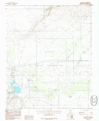
1986 Map of Old Leupp
USGS Topo · Published 1986About this map
Old Leupp and Sunrise anchor this mid-1980s topographic survey of Coconino County, situated within the Navajo Indian Reservation. The landscape is defined by the winding course of the Little Colorado River and the significant confluence with Canyon Diablo to the west. Evidence of local infrastructure includes a Landing Strip and multiple pipelines crossing the desert terrain near Corn Creek and Pollacca Wash. A small Cem is located near the riverbank, providing a specific point of interest for genealogical research. The map illustrates the sparse but vital transport and water management patterns essential for the high-desert environment during this era, showing how the natural drainage systems dictated the placement of small community centers.
Find a feature on this map
10 named features on this map. Tap any name to fly to it.
Don’t see what you’re looking for? This feature index may not catch every label — zoom into the map to look around manually.
Map Details
Editions of this 1986 Old Leupp Map
This is the sole edition of this map. No revisions or reprints were ever made.
Other maps of this area

1883 · Tusayan
USGS Topo · 1:250,000

1886 · Tusayan
USGS Topo · 1:250,000

1886 · San Francisco Mtns
USGS Topo · 1:250,000

1891 · San Francisco Mtns
USGS Topo · 1:250,000

1894 · San Francisco Mtns
USGS Topo · 1:250,000

1899 · San Francisco Mtns
USGS Topo · 1:250,000

1947 · Flagstaff
USGS Topo · 1:250,000

1954 · Flagstaff
USGS Topo · 1:250,000

1955 · Winslow 2 SW
USGS Topo · 1:24,000

1955 · Grand Falls NE
USGS Topo · 1:24,000