
1943 Map of Old Speck Mtn
USGS Topo · Published 1959About this map
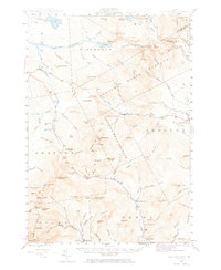
Grafton Notch and the high peaks of the Mahoosuc Range dominate this mid-century survey of the Maine wilderness. The rugged landscape is traversed by the Appalachian Trail, which winds past Old Speck Mtn Fire Tower and Table Rock, crossing significant elevation shifts through the Andover West Surplus. While the terrain is largely uninhabited, small outposts of settlement are found at North Newry PO and Ketchum in the southern valleys. The hydrological network is well-defined, featuring dramatic water landmarks like The Cataracts on Frye Brook and Mother Walker Falls along the Bear River. To the north, the shoreline of Lower Richardson Lake marks the edge of the wilderness, while the Powers Cem near the Sunday River provides a rare genealogical waypoint for researchers of the Newry area.
Find a feature on this map
113 named features on this map. Tap any name to fly to it.
Don’t see what you’re looking for? This feature index may not catch every label — zoom into the map to look around manually.
Map Details
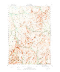
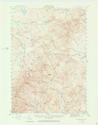
Editions of this 1943 Old Speck Mtn Map
4 editions found
Other maps of this area

1893 · Gorham
USGS Topo · 1:62,500

1896 · Gorham
USGS Topo · 1:62,500

1911 · Bryant Pond
USGS Topo · 1:62,500

1914 · Bethel
USGS Topo · 1:62,500

1914 · Bryant Pond
USGS Topo · 1:62,500

1927 · Rumford
USGS Topo · 1:48,000

1930 · Rumford
USGS Topo · 1:62,500

1930 · Milan
USGS Topo · 1:62,500

1930 · Errol
USGS Topo · 1:62,500

1933 · Rangeley
USGS Topo · 1:48,000