Loading...
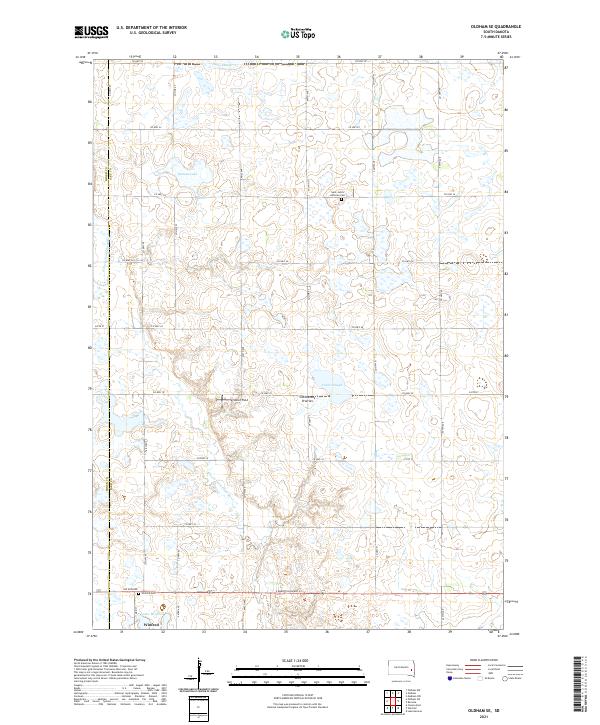
Loading map...2021 Map of Oldham SE
USGS Topo · Published 2021About this map
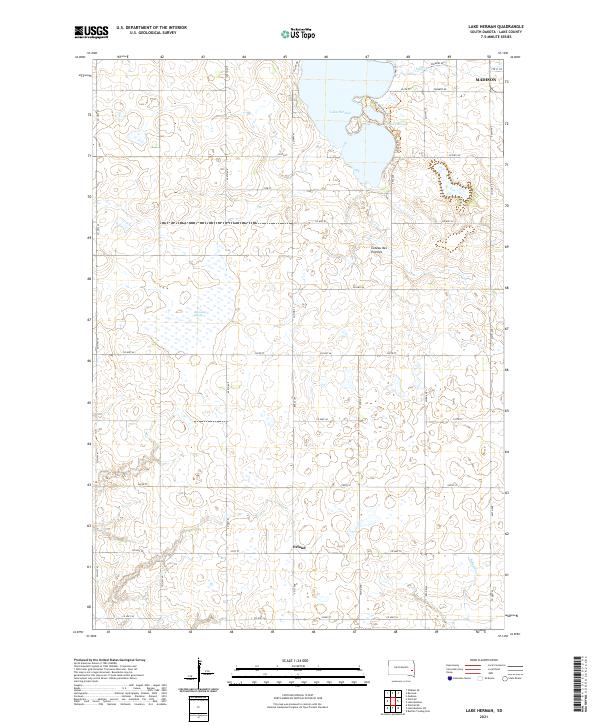
The town of Winfred anchors this rural landscape at the edge of the Coteau des Prairies, an area defined by its glacial history and complex drainage patterns. In the south, Lake Winfred and the nearby Winfred Cem mark the local settlement, while S Dakota Highway 34 provides the primary east-west corridor. The topography is dotted with depressions and sloughs characteristic of the region's moraine-built highlands, including Crane Slough and Davis Slough further north.
Find a feature on this map
31 named features on this map. Tap any name to fly to it.
Don’t see what you’re looking for? This feature index may not catch every label — zoom into the map to look around manually.
Map Details
Date Portrayed2021
Date Published2021
PublisherU.S. Geological Survey
Map TypeTopographic
Scale1:24000
Physical Dimensions24 x 29 inches
Editions of this 2021 Oldham SE Map
This is the sole edition of this map. No revisions or reprints were ever made.
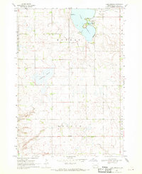
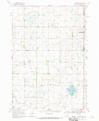
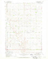
Historical Maps of Concord Township Through Time
10 maps found
Featured Locations
Source Details
SourceU.S. Geological Survey
CopyrightPublic Domain