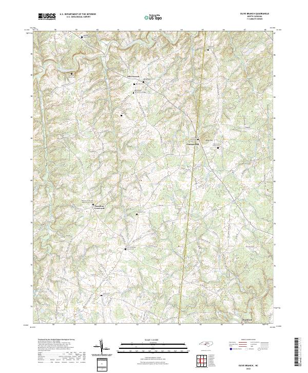
2022 Map of Olive Branch
USGS Topo · Published 2022About this map
Olive Branch and the surrounding rural communities sit along the eastern edge of Union County, where the landscape is defined by the winding paths of Richardson Creek and its many tributaries. This survey details a region deeply rooted in small-town life and family history, evidenced by numerous private burial grounds such as the Baucom Family Cem and Godwin Family Cem. The map illustrates the decentralized nature of the local economy and social structure, centered around community hubs like Hamilton Crossroads and Fountain Hill.
Find a feature on this map
104 named features on this map. Tap any name to fly to it.
Don’t see what you’re looking for? This feature index may not catch every label — zoom into the map to look around manually.
Map Details
Editions of this 2022 Olive Branch Map
This is the sole edition of this map. No revisions or reprints were ever made.
Other maps of this area

1941 · Spartanburg
USGS Topo · 1:250,000

1953 · Spartanburg
USGS Topo · 1:250,000

1953 · Charlotte
USGS Topo · 1:250,000

1954 · Charlotte
USGS Topo · 1:250,000

1960 · Charlotte
USGS Topo · 1:250,000

1960 · Spartanburg
USGS Topo · 1:250,000

1962 · Charlotte
USGS Topo · 1:250,000

1963 · Spartanburg
USGS Topo · 1:250,000

1964 · Spartanburg
USGS Topo · 1:250,000
1970 · Watson
USGS Topo · 1:24,000