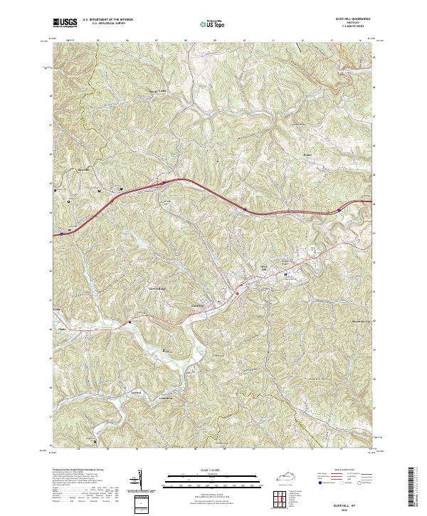
2022 Map of Olive Hill
USGS Topo · Published 2022About this map
Tygarts Creek snakes through the heart of Carter County, shaping the settlement patterns of Olive Hill and its surrounding communities. This modern topographic record illustrates a landscape defined by sharp ridges and deep hollows, where residential clusters like Garvin Ridge and Clark Hill are situated along the winding paths of Us HWY 60 and the interstate corridor. The map is a vital resource for genealogists, detailing numerous burial sites such as Henderson Cem, Kilgore Cem, and the prominent Olive Hill Memorial Cem. Small local landmarks and spiritual centers, including Ash Chapel and Berry Tabernacle, are clearly marked alongside water features like Smoky Valley Lake and the Olive Hill Reservoir. The transition from valley floors to high points like Armstrong Hill and Smoky Ridge highlights the enduring geographic constraints of the region.
Find a feature on this map
56 named features on this map. Tap any name to fly to it.
Don’t see what you’re looking for? This feature index may not catch every label — zoom into the map to look around manually.
Map Details
Editions of this 2022 Olive Hill Map
This is the sole edition of this map. No revisions or reprints were ever made.
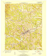
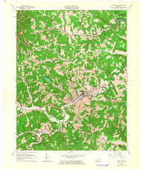
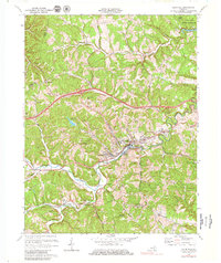
Historical Maps of Rose Hill Through Time
4 maps found