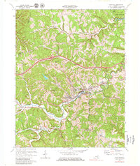
1970 Map of Olive Hill
USGS Topo · Published 1979About this map
Tygarts Creek winds through the heart of this Appalachian landscape, serving as the geographic anchor for the town of Olive Hill. In the early 1970s, the region was defined by a mix of heavy industrial activity and growing state-managed conservation. The presence of numerous quarries and mines near Lawton and Soldier reflects a long-standing reliance on the local geology, while the Chesapeake and Ohio railroad corridor highlights the infrastructure required to transport these resources.
Find a feature on this map
42 named features on this map. Tap any name to fly to it.
Don’t see what you’re looking for? This feature index may not catch every label — zoom into the map to look around manually.
Map Details
Editions of this 1970 Olive Hill Map
2 editions found
Other maps of this area

1929 · Morehead
USGS Topo · 1:48,000

1935 · Morehead
USGS Topo · 1:62,500

1950 · Head Of Grassy
USGS Topo · 1:24,000

1950 · Bruin
USGS Topo · 1:24,000

1950 · Grahn
USGS Topo · 1:24,000

1950 · Wesleyville
USGS Topo · 1:24,000

1950 · Olive Hill
USGS Topo · 1:24,000

1950 · Ault
USGS Topo · 1:24,000

1950 · Tygarts Valley
USGS Topo · 1:24,000

1951 · Soldier
USGS Topo · 1:24,000