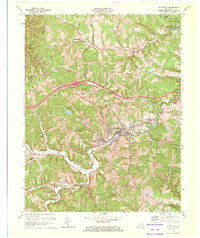
1970 Map of Olive Hill
USGS Topo · Published 1972About this map
The Tygarts Creek corridor defines the geography of this 1970 survey, where the Chesapeake and Ohio railroad follows the valley floor through several historic coal and clay-producing communities. The city of Olive Hill serves as the central hub, supported by smaller settlements like Lawton, Limestone, and Soldier along the rail line. Evidence of the local extractive economy is visible in the numerous claypits and a quarry that dot the surrounding ridges.
Find a feature on this map
34 named features on this map. Tap any name to fly to it.
Don’t see what you’re looking for? This feature index may not catch every label — zoom into the map to look around manually.
Map Details
Editions of this 1970 Olive Hill Map
2 editions found
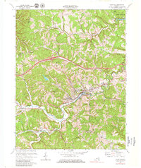
Other maps of this area

1929 · Morehead
USGS Topo · 1:48,000

1935 · Morehead
USGS Topo · 1:62,500

1950 · Head Of Grassy
USGS Topo · 1:24,000

1950 · Bruin
USGS Topo · 1:24,000

1950 · Grahn
USGS Topo · 1:24,000

1950 · Wesleyville
USGS Topo · 1:24,000

1950 · Olive Hill
USGS Topo · 1:24,000

1950 · Ault
USGS Topo · 1:24,000

1950 · Tygarts Valley
USGS Topo · 1:24,000

1951 · Soldier
USGS Topo · 1:24,000