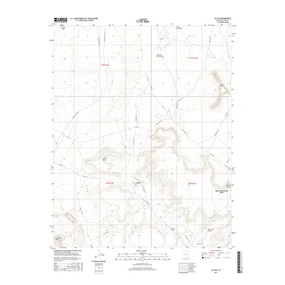
2017 Map of Oljato
USGS Topo · Published 2017About this map
Oljato sits at a geographic crossroads in the high desert of San Juan County, where tribal roads and local routes like Oljato Rd and Chicago Rd converge near the Oljato-Monument Valley border. The landscape is defined by massive sandstone formations and expansive tablelands, including the broad reaches of Hoskinnini Mesa and Holiday Mesa. Water sources are critical but sparse, marked by the winding paths of Oljato Wash and the presence of Oljato Spring near the base of the mesas. Distinctive landmarks such as Train Rock, Organ Rock, and Anvil Rock serve as natural navigation points across the terrain. The presence of routes like Upper Gray Mesa Rd and Douglas Mesa Rd highlights the local dependence on a network of unpaved roads to navigate between these prominent geological features and the scattered canyon systems like Horse Trail Canyon.
Find a feature on this map
40 named features on this map. Tap any name to fly to it.
Don’t see what you’re looking for? This feature index may not catch every label — zoom into the map to look around manually.
Map Details
Editions of this 2017 Oljato Map
This is the sole edition of this map. No revisions or reprints were ever made.
Other maps of this area

1883 · Marsh Pass
USGS Topo · 1:250,000

1886 · Henry Mountains
USGS Topo · 1:250,000

1892 · Marsh Pass
USGS Topo · 1:250,000

1892 · Henry Mountains
USGS Topo · 1:250,000

1952 · Clay Hills 4 SW
USGS Topo · 1:24,000

1952 · Clay Hills 3 SE
USGS Topo · 1:24,000

1952 · Agathla Peak 1 NW
USGS Topo · 1:24,000

1952 · Agathla Peak 2 NW
USGS Topo · 1:24,000

1952 · Boot Mesa
USGS Topo · 1:62,500

1952 · Clay Hills 3 SW
USGS Topo · 1:24,000