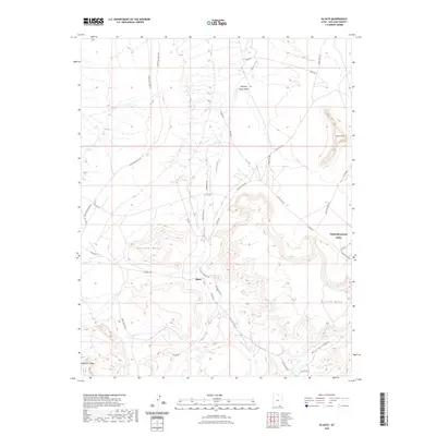
2023 Map of Oljato
USGS Topo · Published 2023About this map
Holiday Mesa and the expansive Oljato Mesa dominate this high-desert landscape in San Juan County, Utah. The settlement of Oljato sits at a crossroads of backroads such as Chicago Rd and Oljato Rd, serving as a central point in a region defined by dramatic geological formations like Train Rock and the steep walls of Horse Trail Canyon. Drainage patterns are dictated by the Oljato Wash and Mitchell Butte Wash, which carve through the arid terrain toward the northern reaches of the quadrangle. The map reveals a complex network of local routes, including Pollen Rd and Atene Rd, that provide access to remote areas like Hoskinnini Mesa. This 2023 update captures the modern footprint of Oljato-Monument Valley, illustrating how contemporary infrastructure integrates with the timeless plateau and canyon topography of the Navajo Nation.
Find a feature on this map
32 named features on this map. Tap any name to fly to it.
Don’t see what you’re looking for? This feature index may not catch every label — zoom into the map to look around manually.
Map Details
Editions of this 2023 Oljato Map
This is the sole edition of this map. No revisions or reprints were ever made.
Other maps of this area

1883 · Marsh Pass
USGS Topo · 1:250,000

1886 · Henry Mountains
USGS Topo · 1:250,000

1892 · Marsh Pass
USGS Topo · 1:250,000

1892 · Henry Mountains
USGS Topo · 1:250,000

1952 · Clay Hills 4 SW
USGS Topo · 1:24,000

1952 · Clay Hills 3 SE
USGS Topo · 1:24,000

1952 · Agathla Peak 1 NW
USGS Topo · 1:24,000

1952 · Agathla Peak 2 NW
USGS Topo · 1:24,000

1952 · Boot Mesa
USGS Topo · 1:62,500

1952 · Clay Hills 3 SW
USGS Topo · 1:24,000