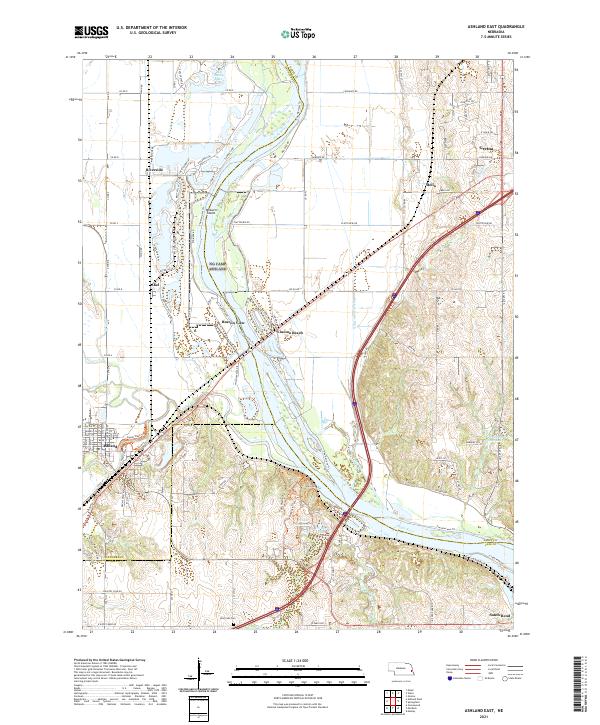
2021 Map of Omaha South
USGS Topo · Published 2021About this map
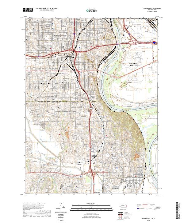
The Missouri River carves a deep boundary between Nebraska and Iowa, defining the industrial and urban corridor of Omaha and Council Bluffs. This landscape is marked by dense transportation networks and historic burial grounds, ranging from Bohemian Cem in the north to Bellevue Cem near the southern limits. The southern portion of the map is dominated by the military presence of Offutt Air Force Base and the institutional campus of Metropolitan Community College - South Omaha Campus.
Find a feature on this map
61 named features on this map. Tap any name to fly to it.
Don’t see what you’re looking for? This feature index may not catch every label — zoom into the map to look around manually.
Map Details
Editions of this 2021 Omaha South Map
This is the sole edition of this map. No revisions or reprints were ever made.
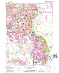
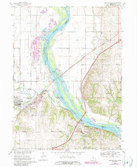
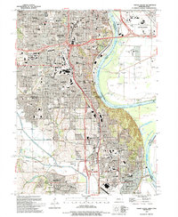
Historical Maps of Omaha Through Time
5 maps found