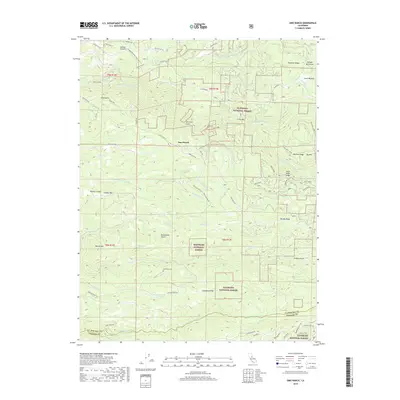
2018 Map of Omo Ranch
USGS Topo · Published 2018About this map
Omo Ranch and the surrounding timberlands of the Eldorado National Forest define this 2018 survey of the Sierra Nevada foothills. The landscape is deeply carved by the Middle Fork Cosumnes River and the S Fork Cosumnes River, which dictate the rugged orientation of the local ridgelines. Evidence of historical transport and resource management is visible in the Diamond Railroad Grade and the numerous named gulches like Slug Gulch and Drummond Gulch, which speak to the area's legacy of mining and logging.
Find a feature on this map
76 named features on this map. Tap any name to fly to it.
Don’t see what you’re looking for? This feature index may not catch every label — zoom into the map to look around manually.
Map Details
Editions of this 2018 Omo Ranch Map
This is the sole edition of this map. No revisions or reprints were ever made.
Other maps of this area
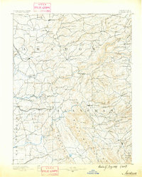
1889 · Jackson
USGS Topo · 1:125,000
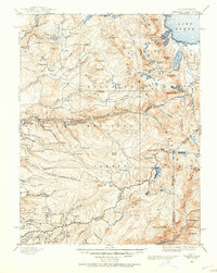
1889 · Pyramid Peak
USGS Topo · 1:125,000
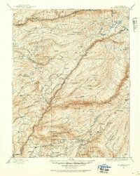
1891 · Big Trees
USGS Topo · 1:125,000
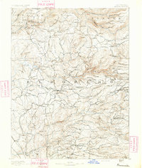
1891 · Placerville
USGS Topo · 1:125,000
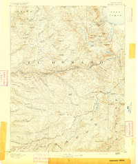
1891 · Pyramid Peak
USGS Topo · 1:125,000
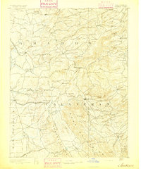
1892 · Jackson
USGS Topo · 1:125,000
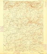
1892 · Placerville
USGS Topo · 1:125,000
1893 · Placerville
USGS Topo · 1:125,000
1894 · Big Trees
USGS Topo · 1:125,000
1895 · Pyramid Peak
USGS Topo · 1:125,000