Loading...
Loading map...2023 Map of Onalaska
USGS Topo · Published 2023About this map
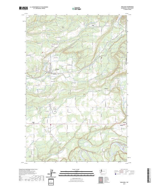
Onalaska stands at the center of this rural Lewis County landscape, where the South Fork Newaukum River and Carlisle Lake define the local geography. The area transitions from the open flats of Alpha Prairie in the north to Cowlitz Prairie in the south, reflecting a long history of agricultural settlement. Smaller communities like Salkum, Lacamas, and Ethel are connected by a network of country roads such as Centralia Alpha Rd and Main Ave.
Find a feature on this map
65 named features on this map. Tap any name to fly to it.
Don’t see what you’re looking for? This feature index may not catch every label — zoom into the map to look around manually.
Map Details
Date Portrayed2023
Date Published2023
PublisherU.S. Geological Survey
Map TypeTopographic
Scale1:24000
Physical Dimensions24 x 29 inches
Editions of this 2023 Onalaska Map
This is the sole edition of this map. No revisions or reprints were ever made.
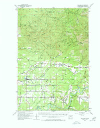
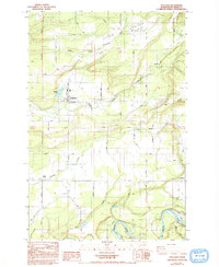
Historical Maps of Ethel Through Time
Featured Locations
Source Details
SourceU.S. Geological Survey
CopyrightPublic Domain