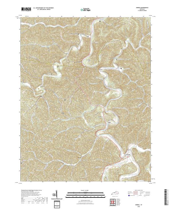
2022 Map of Oneida
USGS Topo · Published 2022About this map
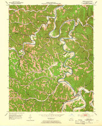
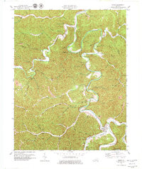
The South Fork Kentucky River meanders through this portion of the Cumberland Plateau, defining a landscape of narrow hollows and ridge-top points. The settlement of Oneida sits at the confluence where Goose Creek and Red Bird River meet to form the main river channel, a site historically vital for river-borne commerce. This 2022 survey documents numerous small family and community burial grounds, including the Sizemore Cem, King Cem, and Wilson Cem, which provide essential touchstones for genealogical research in the region.
Find a feature on this map
70 named features on this map. Tap any name to fly to it.
Don’t see what you’re looking for? This feature index may not catch every label — zoom into the map to look around manually.
Map Details
Editions of this 2022 Oneida Map
This is the sole edition of this map. No revisions or reprints were ever made.