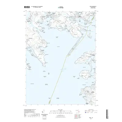
2021 Map of Onset
USGS Topo · Published 2021About this map
The Weweantic River and Wareham River converge near this coastal landscape of protected coves and narrow necks, where 21st-century settlement patterns reflect a long history of maritime life and seasonal recreation. Dense residential enclaves like Swifts Beach, Hamilton Beach, and Parkwood Beach occupy the finger-like peninsulas, while the village of Onset and Point Independence frame the head of Onset Bay.
Find a feature on this map
218 named features on this map. Tap any name to fly to it.
Don’t see what you’re looking for? This feature index may not catch every label — zoom into the map to look around manually.
Map Details
Editions of this 2021 Onset Map
This is the sole edition of this map. No revisions or reprints were ever made.
Other maps of this area

1885 · New Bedford
USGS Topo · 1:62,500

1885 · Middleboro
USGS Topo · 1:62,500

1886 · Falmouth
USGS Topo · 1:62,500

1886 · Plymouth
USGS Topo · 1:62,500

1888 · New Bedford
USGS Topo · 1:62,500

1888 · Falmouth
USGS Topo · 1:62,500

1888 · Middleboro
USGS Topo · 1:62,500

1889 · Plymouth
USGS Topo · 1:62,500

1893 · Middleboro
USGS Topo · 1:62,500

1893 · Falmouth
USGS Topo · 1:62,500