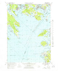
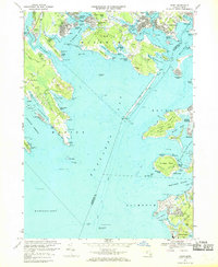
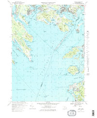
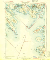
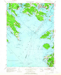
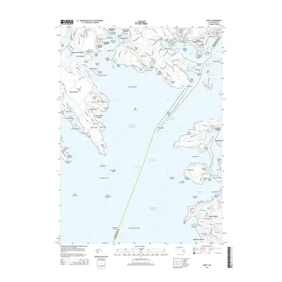
1967 Map of Onset
USGS Topo · Published 1978About this map
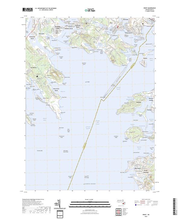
Onset and Point Independence anchor this coastal survey, where the intricate shoreline of Buzzards Bay meets the industrial legacy of Cranberry Bog operations. The landscape is defined by its deep saltwater incursions, from the Weweantic River and Sippican Harbor to the west, to the complex network of Onset Bay and the Canal entrance at Agawam Point. The land is fragmented into numerous necks, including Great Neck, Cromeset Neck, and Sippican Neck, many of which reveal the era's mid-century residential expansion in communities like Briarwood Beach and Pinehurst Beach. Inland, the presence of the Sacred Heart Seminary and multiple small burial grounds such as Agawam Cem and Water Tank Cem provide clear landmarks for genealogical research. The map also highlights the maritime infrastructure of the late 1960s, featuring the Cleveland Ledge Lighthouse and the Rocky Pt Dike protecting the approach to the Cape Cod Canal.
Find a feature on this map
139 named features on this map. Tap any name to fly to it.
Don’t see what you’re looking for? This feature index may not catch every label — zoom into the map to look around manually.
Map Details
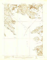
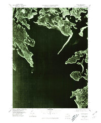
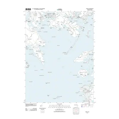
Editions of this 1967 Onset Map
3 editions found
Historical Maps of Falmouth Through Time
11 maps found
1936 Onset
Plymouth County, MA
1941 Onset
Plymouth County, MA
1953 Onset
Plymouth County, MA
1967 Onset
Plymouth County, MA
1977 Onset
Plymouth County, MA
2012 Onset
Plymouth County, MA
2015 Onset
Plymouth County, MA
2018 Onset
Plymouth County, MA
2021 Onset
Plymouth County, MA
2023 Onset
Plymouth County, MA
2024 Onset
Plymouth County, MA