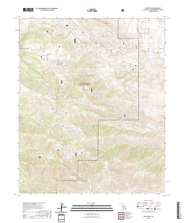
2021 Map of Onyx Peak
USGS Topo · Published 2021About this map
San Bernardino National Forest encompasses this high-elevation landscape, where the Pacific Crest National Scenic Trl traverses the crest near Onyx Summit. The topography is defined by significant peaks and ridges, including the prominent Onyx Peak and the steep incline of Heartbreak Ridge. This area serves as a critical watershed for numerous drainages, with Pipes Wash and Cienaga Seca Cr cutting through the montane terrain. Scattered water sources like Yocum Spring and Missed Spring are vital markers in an otherwise arid environment. The map captures the remote nature of the San Bernardino Mountains, showing a network of forest roads such as Margaret B Scott Rd and Burns Canyon Rd that provide access to backcountry landmarks like Broom Flat and Three Sisters Peaks.
Find a feature on this map
50 named features on this map. Tap any name to fly to it.
Don’t see what you’re looking for? This feature index may not catch every label — zoom into the map to look around manually.
Map Details
Editions of this 2021 Onyx Peak Map
This is the sole edition of this map. No revisions or reprints were ever made.
Other maps of this area

1901 · Southern California Sheet No. 1
USGS Topo · 1:250,000

1902 · San Gorgonio
USGS Topo · 1:125,000

1904 · Southern California Sheet No. 1
USGS Topo · 1:250,000

1947 · Lucerne Valley
USGS Topo · 1:62,500

1949 · Lucerne Valley
USGS Topo · 1:62,500

1953 · San Bernardino
USGS Topo · 1:250,000

1954 · San Gorgonio Mountain
USGS Topo · 1:62,500

1955 · Old Woman Springs
USGS Topo · 1:62,500

1955 · Morongo Valley
USGS Topo · 1:62,500

1956 · San Bernardino
USGS Topo · 1:250,000