Loading...
Loading map...1940 Map of Ooltewah
USGS Topo · Published 1954About this map
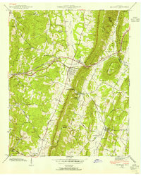
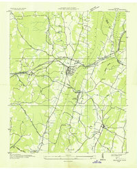
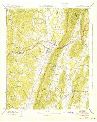
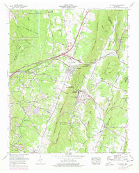
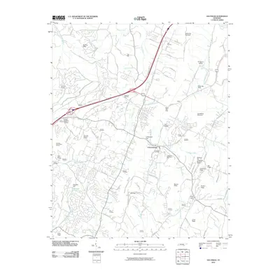
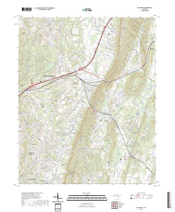
White Oak Mountain dominates the center of this Tennessee landscape, acting as a natural divide between the settled valley of Ooltewah and the eastern ridges. The Southern railroad and Lee Highway intersect at the town center, marking the area as a critical transportation corridor during the early 1940s. Further south, Collegedale centers around the campus of Southern Junior College, a distinctive educational landmark situated near Collegedale Gap.
Find a feature on this map
70 named features on this map. Tap any name to fly to it.
Don’t see what you’re looking for? This feature index may not catch every label — zoom into the map to look around manually.
Map Details
Date Portrayed1940
Date Published1954
PublisherU.S. Geological Survey
Map TypeTopographic
Scale1:24,000
Physical Dimensions22.1 x 27.5 inches
Editions of this 1940 Ooltewah Map
This is the sole edition of this map. No revisions or reprints were ever made.
Historical Maps of Chattanooga Through Time
9 maps found
Featured Locations
Source Details
SourceU.S. Geological Survey
CopyrightPublic Domain