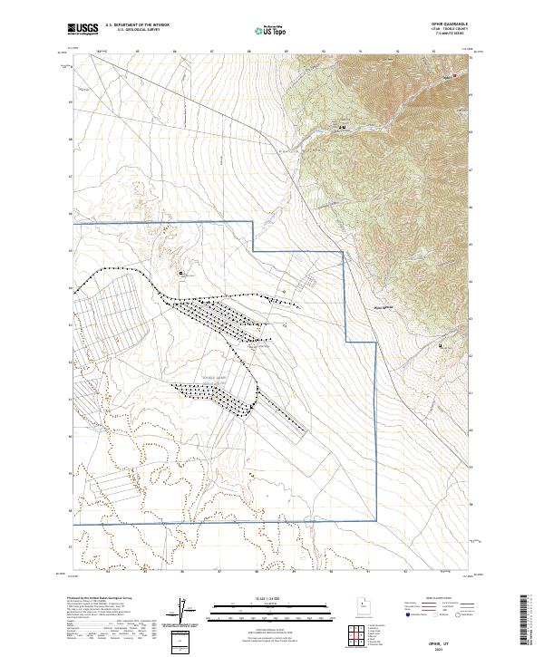
2023 Map of Ophir
USGS Topo · Published 2023About this map
The Oquirrh Mountains rise sharply above Rush Valley in this contemporary look at a storied Utah mining district. The settlement of Ophir remains a focal point at the base of Ophir Canyon, surrounded by historical markers including the Ophir Old Cem and Ophir New Cem. To the south, the massive industrial footprint of the Tooele Army Depot South occupies the valley floor, creating a stark visual contrast with the ancient geological features like Lion Hill and Dry Mtn. Local industry and transit history are visible through specialized routes such as the Dry Canyon Mining Rd and W Dip Gulch Rd. Further south, the ghost of another mining era is found near West Mercur and the Mercur Cem, where the landscape transitions into the steep ravines of Mercur Canyon.
Find a feature on this map
28 named features on this map. Tap any name to fly to it.
Don’t see what you’re looking for? This feature index may not catch every label — zoom into the map to look around manually.
Map Details
Editions of this 2023 Ophir Map
This is the sole edition of this map. No revisions or reprints were ever made.