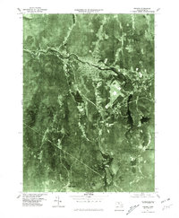
1975 Map of Orange
USGS Topo · Published 1981About this map
Millers River cuts a sharp path through the northern landscape of Franklin County, serving as the central axis for the town of Orange. This 1975 orthophotoquad reveals the mid-century spatial organization of the region, where the dense industrial and residential core of the village contrasts with the surrounding timberlands and water bodies. The imagery provides a clear view of the local infrastructure, including a prominent airfield situated on The Plains southeast of the town center.
Find a feature on this map
8 named features on this map. Tap any name to fly to it.
Don’t see what you’re looking for? This feature index may not catch every label — zoom into the map to look around manually.
Map Details
Editions of this 1975 Orange Map
This is the sole edition of this map. No revisions or reprints were ever made.
Other maps of this area

1887 · Warwick
USGS Topo · 1:62,500

1887 · Belchertown
USGS Topo · 1:62,500

1887 · Winchendon
USGS Topo · 1:62,500

1887 · Barre
USGS Topo · 1:62,500

1889 · Barre
USGS Topo · 1:62,500

1889 · Warwick
USGS Topo · 1:62,500

1890 · Belchertown
USGS Topo · 1:62,500
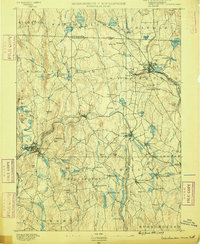
1890 · Winchendon
USGS Topo · 1:62,500
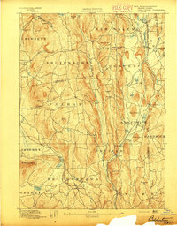
1893 · Belchertown
USGS Topo · 1:62,500
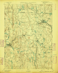
1894 · Winchendon
USGS Topo · 1:62,500