Loading...
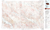
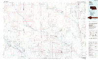
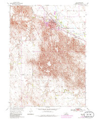
Loading map...1985 Map of Ord
USGS Topo · Published 1994About this map
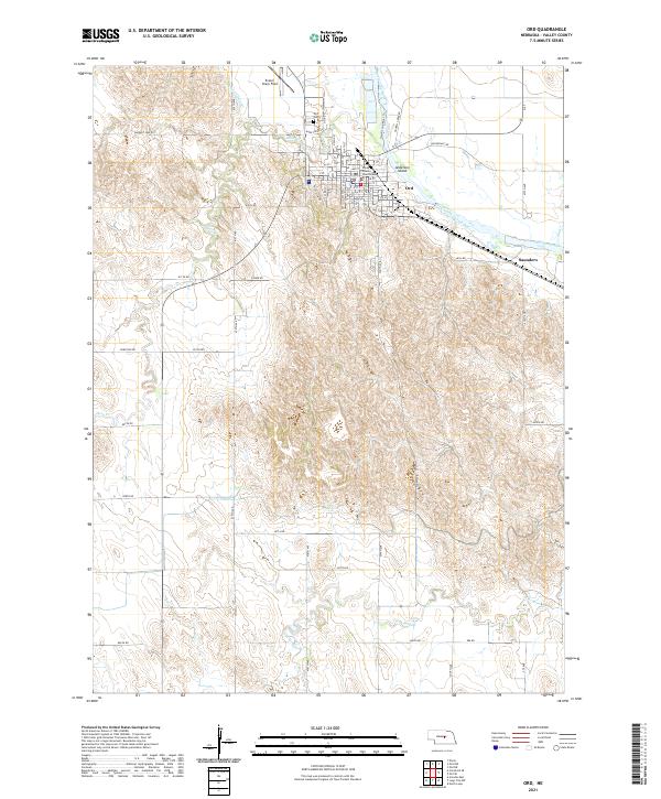
The Loup River and North Loup River valleys dominate the landscape of central Nebraska in this mid-1980s topographic survey. The city of Ord stands as a primary hub in the southwest, while the eastern edge is defined by the agricultural centers of Albion and Cedar Rapids. The map reveals a highly structured rural grid, with township names like Springdale, Enterprise, and North Loup reflecting the homesteading history of Valley and Greeley Counties.
Find a feature on this map
52 named features on this map. Tap any name to fly to it.
Don’t see what you’re looking for? This feature index may not catch every label — zoom into the map to look around manually.
Map Details
Date Portrayed1985
Date Published1994
PublisherU.S. Geological Survey
Map TypeTopographic
Scale1:100,000
Physical Dimensions39.4 x 24.1 inches
Editions of this 1985 Ord Map
2 editions found
Historical Maps of Ord Through Time
6 maps found
Featured Locations
Source Details
SourceU.S. Geological Survey
CopyrightPublic Domain