2024 Map of Oregon City
USGS Topo · Published 2024About this map
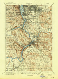
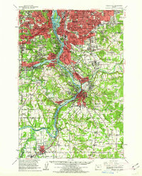
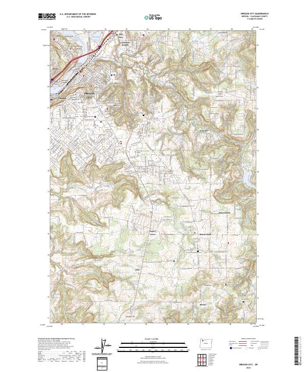
The Willamette River and its complex of islands and rapids define the western edge of this territory, where the Clackamas Rapids and Clackamette Cove meet the urban footprint of Oregon City. This area is a focal point for regional history, housing the Clackamas County Courthouse and a portion of the Fort Vancouver National Historic Site. The geography transitions from the riverfront industries of Canemah and Sunset into the rising timber and farm tracts of the Clackamas Highlands.
Find a feature on this map
156 named features on this map. Tap any name to fly to it.
Don’t see what you’re looking for? This feature index may not catch every label — zoom into the map to look around manually.
Map Details
Editions of this 2024 Oregon City Map
This is the sole edition of this map. No revisions or reprints were ever made.
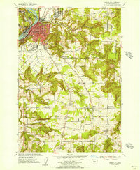
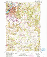
Historical Maps of Fishers Corner Through Time
8 maps found