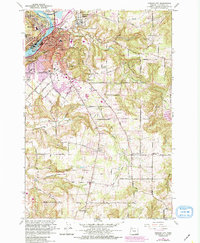
1961 Map of Oregon City
USGS Topo · Published 1985About this map
Oregon City and the surrounding Clackamas County landscape are captured during a period of steady suburban expansion, as shown by the purple revisions updated through the early 1980s. The map centers on the confluence of the Willamette River and the Clackamas River, where industrial and civic infrastructure like the Sewage Disposal plant and McLoughlin Substation serve the growing population. The legacy of early settlement is visible in the numerous small schools and cemeteries, such as St Pauls Cemetery and Mountain View Cemetery, which dot the hillsides between Abernethy Creek and Holcomb Creek.
Find a feature on this map
84 named features on this map. Tap any name to fly to it.
Don’t see what you’re looking for? This feature index may not catch every label — zoom into the map to look around manually.
Map Details
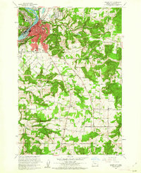
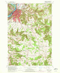
Editions of this 1961 Oregon City Map
3 editions found
Other maps of this area

1911 · Boring
USGS Topo · 1:48,000

1914 · Boring
USGS Topo · 1:62,500

1914 · Oregon City
USGS Topo · 1:62,500

1916 · Estacada
USGS Topo · 1:125,000

1939 · Molalla
USGS Topo · 1:62,500

1939 · Oregon City
USGS Topo · 1:62,500

1940 · Molalla
USGS Topo · 1:62,500

1940 · Boring
USGS Topo · 1:62,500

1941 · Oregon City
USGS Topo · 1:62,500

1948 · Vancouver
USGS Topo · 1:250,000