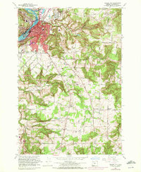
1961 Map of Oregon City
USGS Topo · Published 1972About this map
Oregon City stands as a hub of industrial and river activity at the confluence of the Willamette River and Clackamas River. In this early 1960s configuration, the cityscape transitions from the riverbanks at Canemah and West Linn toward upland residential expansions like Clackamas Heights. The landscape is intricately carved by numerous drainages, including Abernethy Creek and Beaver Creek, which influenced the development of early transportation corridors. The rail presence of the Southern Pacific and Portland Traction lines highlights the area's role as a major Pacific Northwest transit point.
Find a feature on this map
63 named features on this map. Tap any name to fly to it.
Don’t see what you’re looking for? This feature index may not catch every label — zoom into the map to look around manually.
Map Details
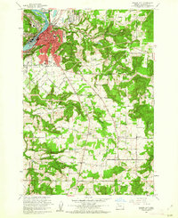
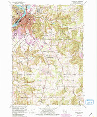
Editions of this 1961 Oregon City Map
3 editions found
Other maps of this area

1911 · Boring
USGS Topo · 1:48,000

1914 · Boring
USGS Topo · 1:62,500

1914 · Oregon City
USGS Topo · 1:62,500

1916 · Estacada
USGS Topo · 1:125,000

1939 · Molalla
USGS Topo · 1:62,500

1939 · Oregon City
USGS Topo · 1:62,500

1940 · Molalla
USGS Topo · 1:62,500

1940 · Boring
USGS Topo · 1:62,500

1941 · Oregon City
USGS Topo · 1:62,500

1948 · Vancouver
USGS Topo · 1:250,000