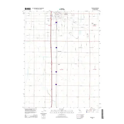
2015 Map of Orland
USGS Topo · Published 2015About this map
The Sacramento Valley landscape of Glenn County is defined here by the intersection of early agricultural settlements and the vital water infrastructure of the Tehama Colusa Canal. The city of Orland serves as the primary hub, with a dense grid of streets including Walker St and Colusa St that anchor the northern section of the map. Traces of the region's historical development are visible through the proximity of Oddfellows Cemetery and Catholic Cemetery, while the small communities of Greenwood and Grapit mark the southward progression along the modern transportation corridor. This survey documents the intensive land use of the valley floor, where the winding course of Walker Creek and S Fork Walker Cr contrasts with the straight-line precision of the irrigation canals and a vast network of county roads. The aviation presence at Haigh Field and the legacy of transportation along Railroad Ave further illustrate the area's role as a regional crossroads.
Find a feature on this map
64 named features on this map. Tap any name to fly to it.
Don’t see what you’re looking for? This feature index may not catch every label — zoom into the map to look around manually.
Map Details
Editions of this 2015 Orland Map
This is the sole edition of this map. No revisions or reprints were ever made.
Other maps of this area
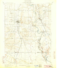
1904 · Vina
USGS Topo · 1:62,500
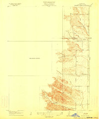
1904 · Walker Creek
USGS Topo · 1:31,680
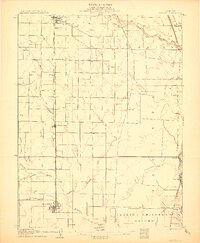
1906 · Willows
USGS Topo · 1:62,500
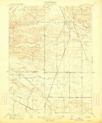
1914 · Kirkwood
USGS Topo · 1:31,680
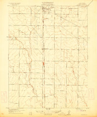
1914 · Orland
USGS Topo · 1:31,680
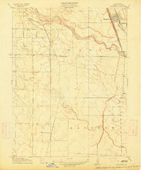
1914 · Hamilton
USGS Topo · 1:31,680
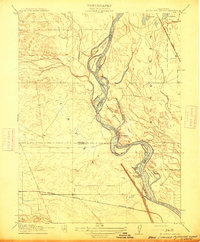
1914 · McIntosh Landing
USGS Topo · 1:31,680
1917 · Kurand
USGS Topo · 1:31,680
1917 · Lyman
USGS Topo · 1:31,680
1917 · Jacinto
USGS Topo · 1:31,680