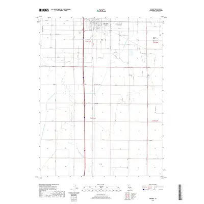
2018 Map of Orland
USGS Topo · Published 2018About this map
Agricultural development and water management define this landscape in the northern Sacramento Valley. The city of Orland serves as the primary hub, where a grid of streets including Mill St and Railroad Ave meets the north-south transit corridors. The influence of large-scale irrigation is evident in the path of the Tehama Colusa Canal, which cuts through the valley floor to support the region's farms and orchards. Outside the main town, smaller settlements like Greenwood, Grapit, and Artois are connected by a precise network of numbered county roads. For those researching local history, several burial grounds are documented, including Oddfellows Cem and the Orland Catholic Cem. The natural drainage of Walker Creek meanders across the plain, contrasting with the engineered precision of the surrounding property lines and canal works.
Find a feature on this map
51 named features on this map. Tap any name to fly to it.
Don’t see what you’re looking for? This feature index may not catch every label — zoom into the map to look around manually.
Map Details
Editions of this 2018 Orland Map
This is the sole edition of this map. No revisions or reprints were ever made.
Other maps of this area
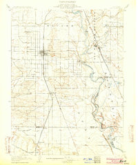
1904 · Vina
USGS Topo · 1:62,500
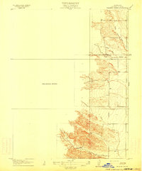
1904 · Walker Creek
USGS Topo · 1:31,680
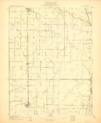
1906 · Willows
USGS Topo · 1:62,500
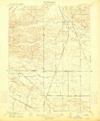
1914 · Kirkwood
USGS Topo · 1:31,680
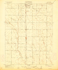
1914 · Orland
USGS Topo · 1:31,680
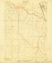
1914 · Hamilton
USGS Topo · 1:31,680
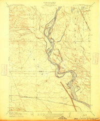
1914 · McIntosh Landing
USGS Topo · 1:31,680
1917 · Kurand
USGS Topo · 1:31,680
1917 · Lyman
USGS Topo · 1:31,680
1917 · Jacinto
USGS Topo · 1:31,680