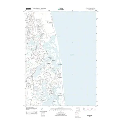
2012 Map of Orleans
USGS Topo · Published 2012About this map
Nauset Harbor and the complex tidal inlets of the Atlantic coast define this coastal landscape, where the shifting sands of Nauset Beach meet the established settlements of Eastham and East Orleans. The geography of the outer Cape is meticulously documented, showing the transition from the protected waters of Town Cove and Salt Pond Bay to the open ocean. Notable landmarks like the Nauset Beach Lighthouse and The Eastham Mill stand alongside numerous historic internment sites, including the Cove Burying Ground and Evergreen Cem, providing significant points of interest for genealogists and local historians. The map also captures the extent of the National Seashore, preserving the delicate balance of salt ponds and coastal necks such as Pochet Neck and Barley Neck that have shaped the maritime character of Barnstable County for generations.
Find a feature on this map
207 named features on this map. Tap any name to fly to it.
Don’t see what you’re looking for? This feature index may not catch every label — zoom into the map to look around manually.
Map Details
Editions of this 2012 Orleans Map
This is the sole edition of this map. No revisions or reprints were ever made.
Other maps of this area

1887 · Wellfleet
USGS Topo · 1:62,500

1887 · Yarmouth
USGS Topo · 1:62,500

1888 · Chatham
USGS Topo · 1:62,500

1889 · Yarmouth
USGS Topo · 1:62,500

1889 · Wellfleet
USGS Topo · 1:62,500

1893 · Chatham
USGS Topo · 1:62,500

1893 · Yarmouth
USGS Topo · 1:62,500

1893 · Wellfleet
USGS Topo · 1:62,500

1917 · Chatham
USGS Topo · 1:62,500

1942 · Cape Cod Bay
USGS Topo · 1:125,000