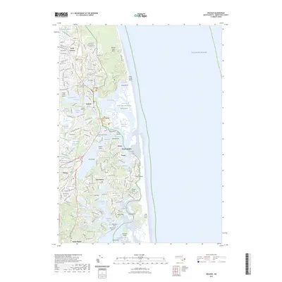
2023 Map of Orleans
USGS Topo · Published 2023About this map
North Eastham and Orleans anchor this coastal landscape, which is defined by the intricate waterways and marshlands of the Cape Cod National Seashore. The geography reveals a complex system of inlets and ponds, from the tidal reaches of Nauset Marsh and Salt Pond Bay to the inland waters of Great Pond and Crystal Lake. This area demonstrates a long history of maritime orientation and community preservation, evidenced by the concentration of burial sites such as the Cove Burying Ground Cem and the Eastham Congregational and Soldiers Cem. The map traces the peninsula's evolution into a modern conservation and residential corridor, where landmarks like Nauset Light Beach and Coast Guard Beach stand along the Atlantic front. Settlement patterns follow the contours of the land, clustering around Town Cove and extending through Nauset Heights and East Orleans, while the western edge is marked by the expansive Herring River Marshes.
Find a feature on this map
143 named features on this map. Tap any name to fly to it.
Don’t see what you’re looking for? This feature index may not catch every label — zoom into the map to look around manually.
Map Details
Editions of this 2023 Orleans Map
This is the sole edition of this map. No revisions or reprints were ever made.
Other maps of this area
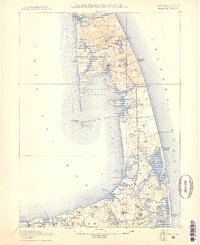
1887 · Wellfleet
USGS Topo · 1:62,500
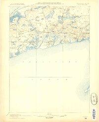
1887 · Yarmouth
USGS Topo · 1:62,500
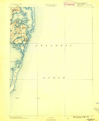
1888 · Chatham
USGS Topo · 1:62,500
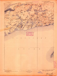
1889 · Yarmouth
USGS Topo · 1:62,500
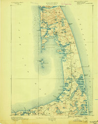
1889 · Wellfleet
USGS Topo · 1:62,500
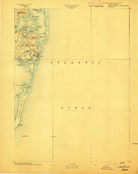
1893 · Chatham
USGS Topo · 1:62,500
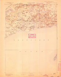
1893 · Yarmouth
USGS Topo · 1:62,500
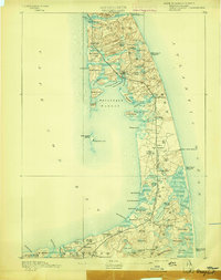
1893 · Wellfleet
USGS Topo · 1:62,500
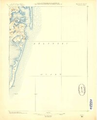
1917 · Chatham
USGS Topo · 1:62,500
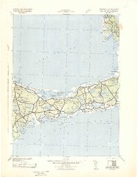
1942 · Cape Cod Bay
USGS Topo · 1:125,000